
(continued from “Byng 01”)
Rock Island about 50 yards or so upstream from Lion’s Roar. One could certainly make an argument that it’s not an island per se, but just an interior conglomeration of rocks more often than not protruding above Byng’s water level.

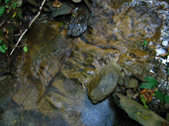
Interesting orange tinted rock patterns within an unnamed, small cascade just above Rock Island.
Shots into the upper reaches of Byng’s Kansas region, which has taken on added significance in the meantime:

I’ve found a path linking Missouri on the ridge to the west (same ridge with the Kentucky platform further up, once more) to this rock filled and more spread out, circle shaped part of Byng I am standing in for the below picture. Just downstream from here, we can spy the dark silhouette of a large, dead tree that perhaps represents the center of 6 Minute Hill. More on that soon as well.

Larger, square-ish rock from the same area.


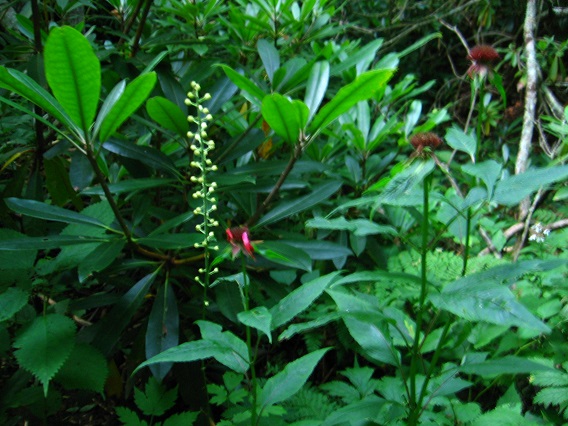
Upper Kansas flora.
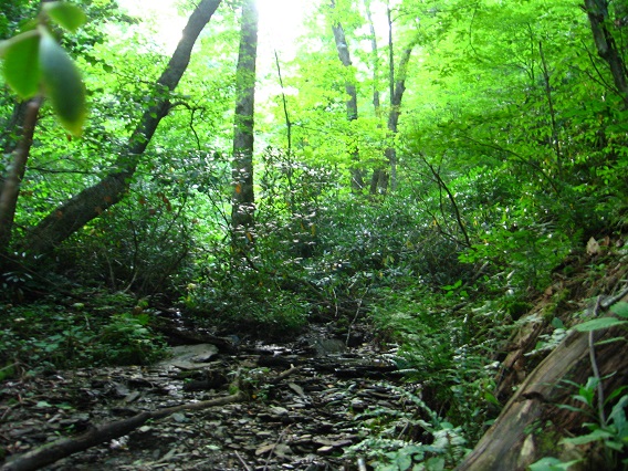
Interesting crisscross of tree trunks above Byng… again taken within the same circular Byng location that the Missouri Trail leads to from the western ridge.

Interesting trunk spanning a more marshy part of 6 Minute Hill.

The central dead tree mentioned before, viewed from the opposite direction.


Pingback: Byng 01 | Frank & Herman, Einstein!