Monthly Archives: August 2015

Leola Creek 02

And here’s Big Beach, a fairly impressive run of rounded rocks. A toy happening might be in the works for this place soon, or perhaps for all of Peanuts in a collective manner.

IMG_0149smaller

The start of a path on the northern end of this beach that quickly leads up to a rocky cliff.

IMG_0150smaller

IMG_0151smaller

A prominent rock of the rocky cliff can be seen in the background. This is taken from Big Beach.

IMG_0152smaller

Looming Peanuts trees. Probably taken from Big Beach as well.

IMG_0153smaller

Big Beach butterflies.

IMG_0154smaller

Big Beach smashed soda drink can. Maybe a Mountain Dew? Or perhaps a Sundrop.

IMG_0158smaller

Matching pipe and rock across the stream from the beach.

IMG_0160smallest

Big Beach from the south. Hard to tell from this picture but there’s definitely a storm brewing in the background! The skies would open up just as I got back into the car after my wade. I’m *such* a lucky boy!

IMG_0162smaller

We’re back downstream from Peanuts now with this photo of an old cinder block. As you can imagine from an urban landscape, many man-made objects are found in or near Leola Creek.

IMG_0167smaller

Unnamed Leola Creek rock in ALO.

IMG_0172smaller

And now a shot from near Point+1 in our Urban Landscape: merging culverts.

IMG_0174smaller

Leave a comment

Filed under Blue Mountain

Leola Creek 01

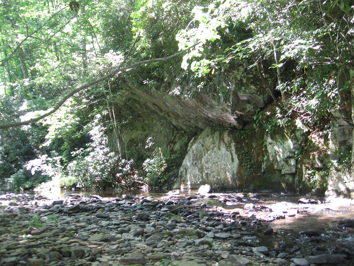
Before we get to the newest wading of Leola Creek, here’s one more picture from The Hill that I wanted to show because that rock I placed in the hole of this tree was *gone* upon a return trip. Now I’m not saying that kids didn’t remove it or something, but I’m just trying to note oddities as they happen. And they do happen. Could it be a communication directly from The Hill itself (whatever that means)??

IMG_0103smaller

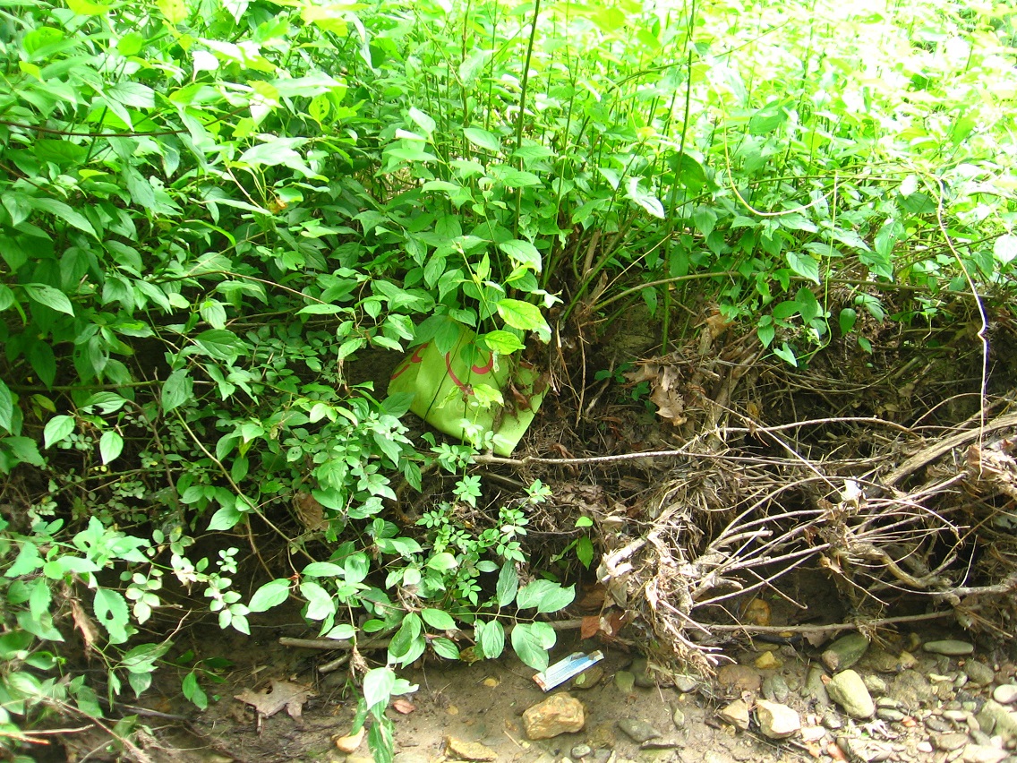
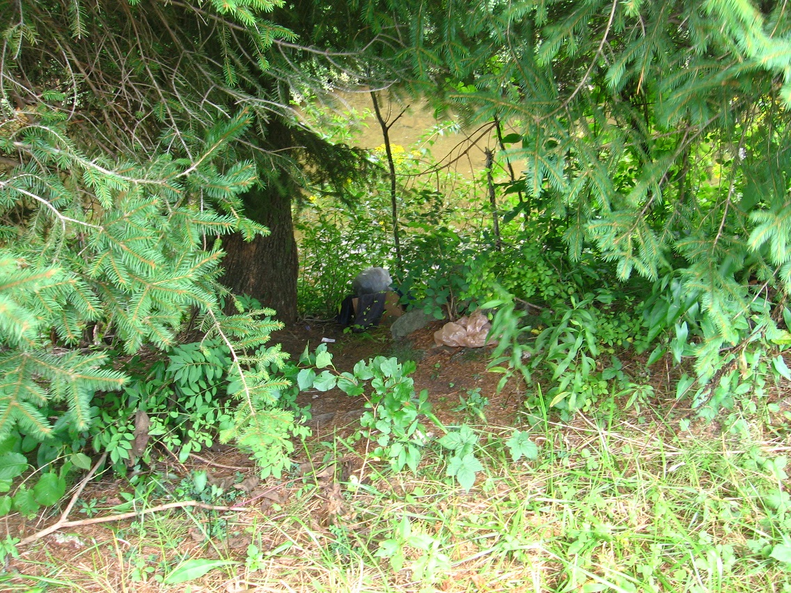
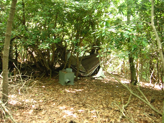
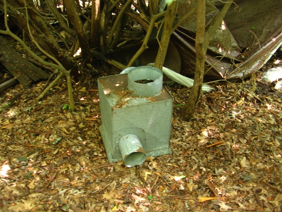
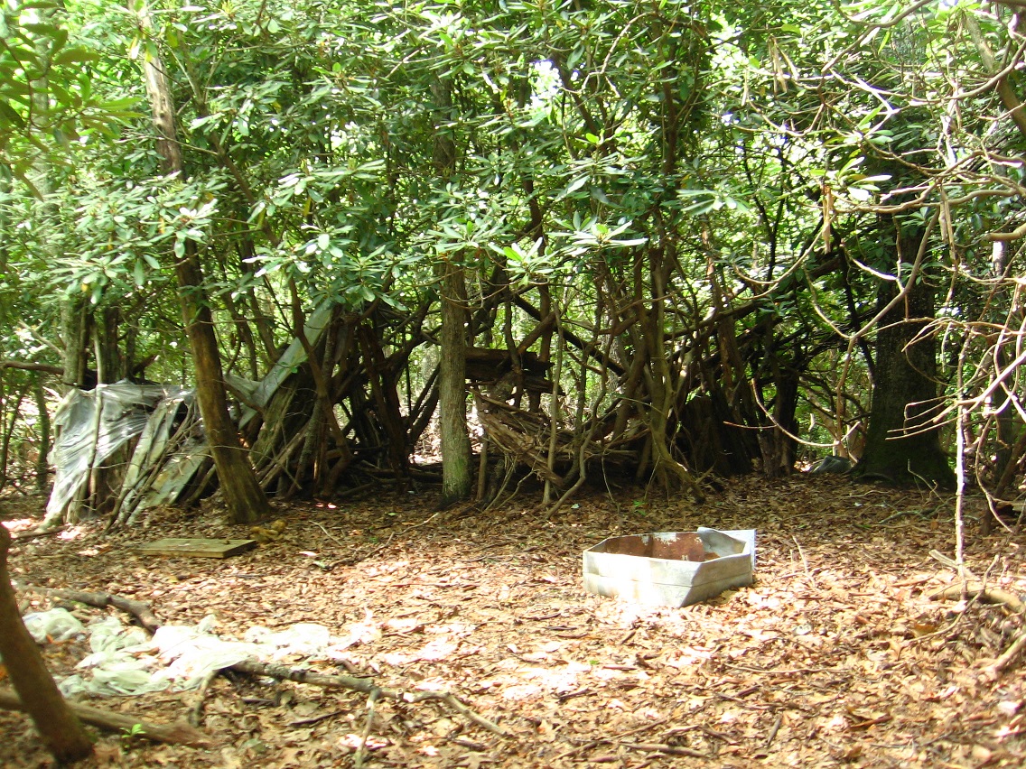
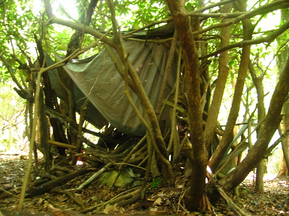
Now to Leola Creek and the core of the Urban Landscape. I’m afraid that types of homeless people might at least stay in the Landscape sometimes, as witnessed by what seems to be a box of clothes, spied from the main trail as we look down at Leola Creek flowing below. Not that I don’t feel sorry for the homeless. Heck I was kind of one myself during periods of my youth. But there’s also a small danger factor involved. Good to be aware of possible natives.

IMG_0114smaller

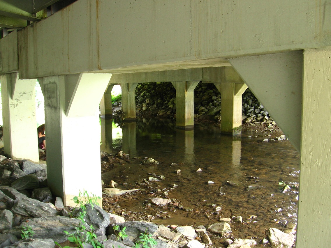
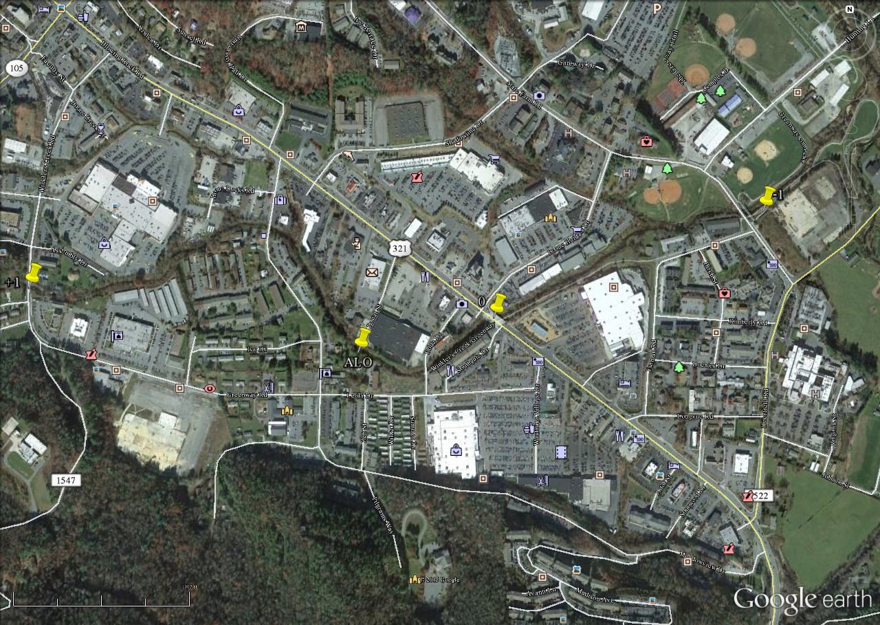
Happy pink whale on a sign. Perhaps the town has had past trouble with people sleeping under this bridge, which would be at Point-0 in our Blue Mtn. Urban Landscape. We are at or near its heart, which would also include the neighboring ALO region.

IMG_0115smaller

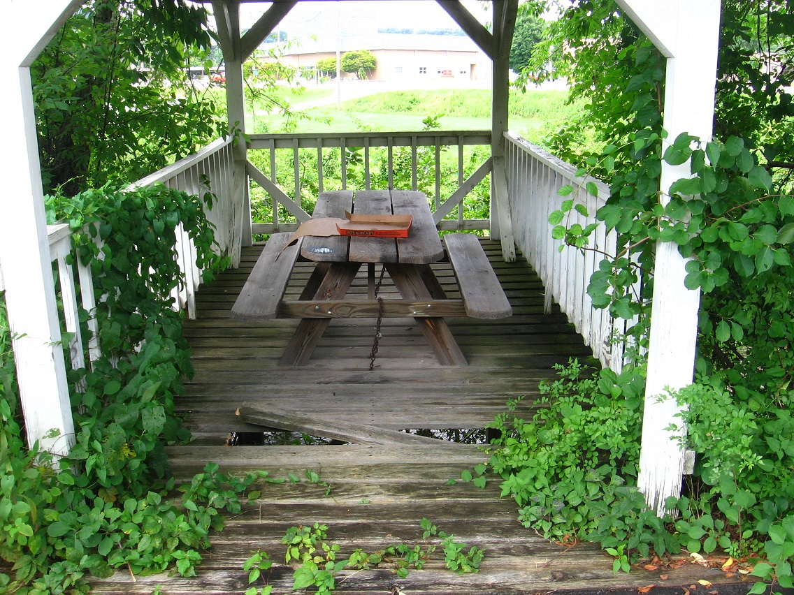
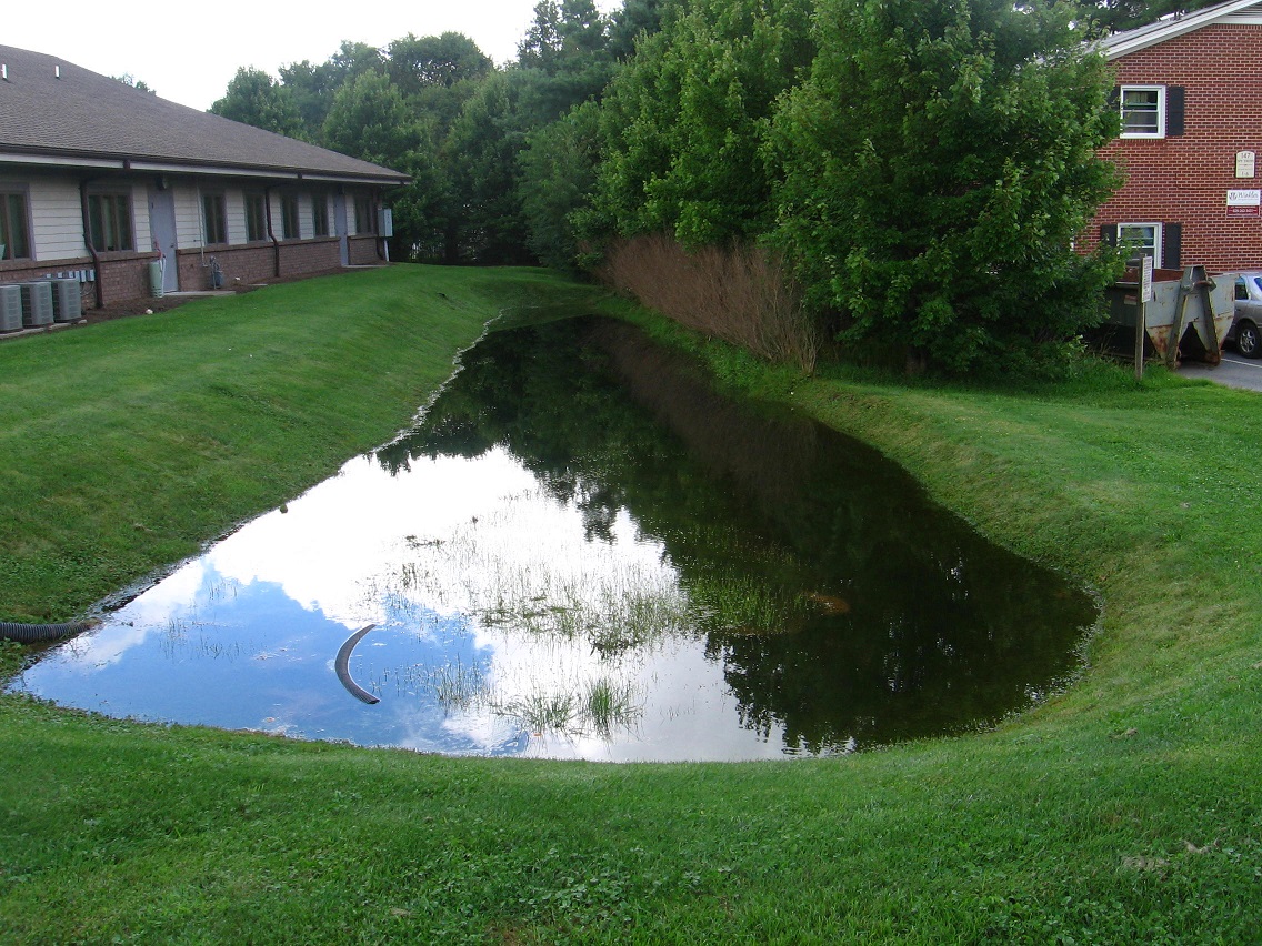
The plants around the wetlands originally pictured here have been mowed. A shame.

IMG_0116smaller

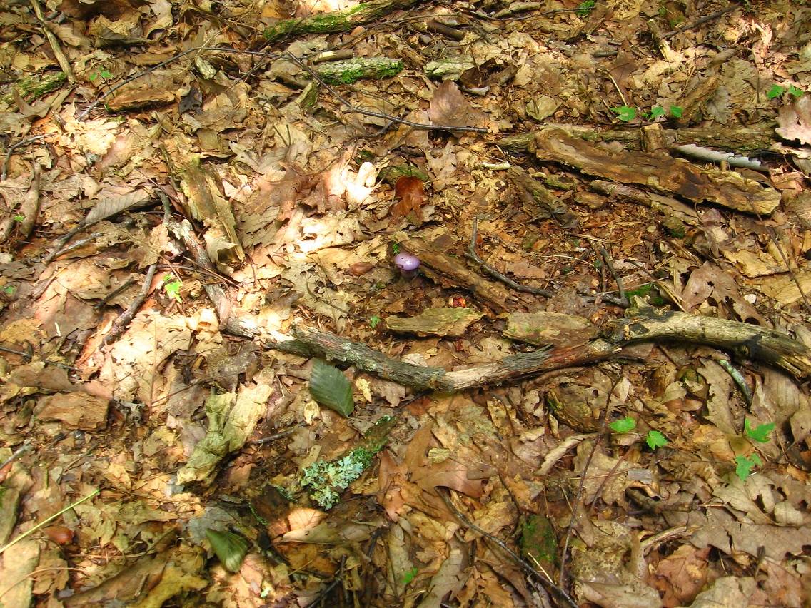
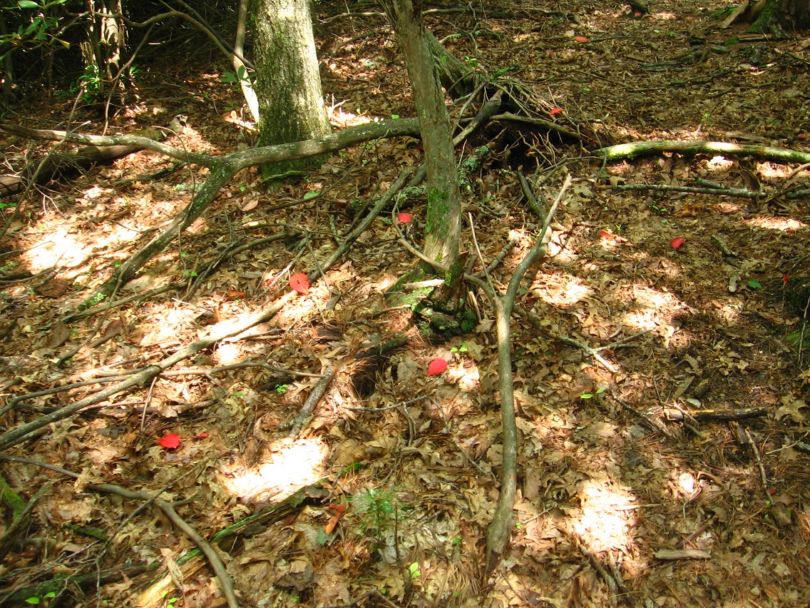
Coral mushrooms have sprung up beneath a nearby grove of trees. Fungi are so peculiar!

IMG_0117smaller

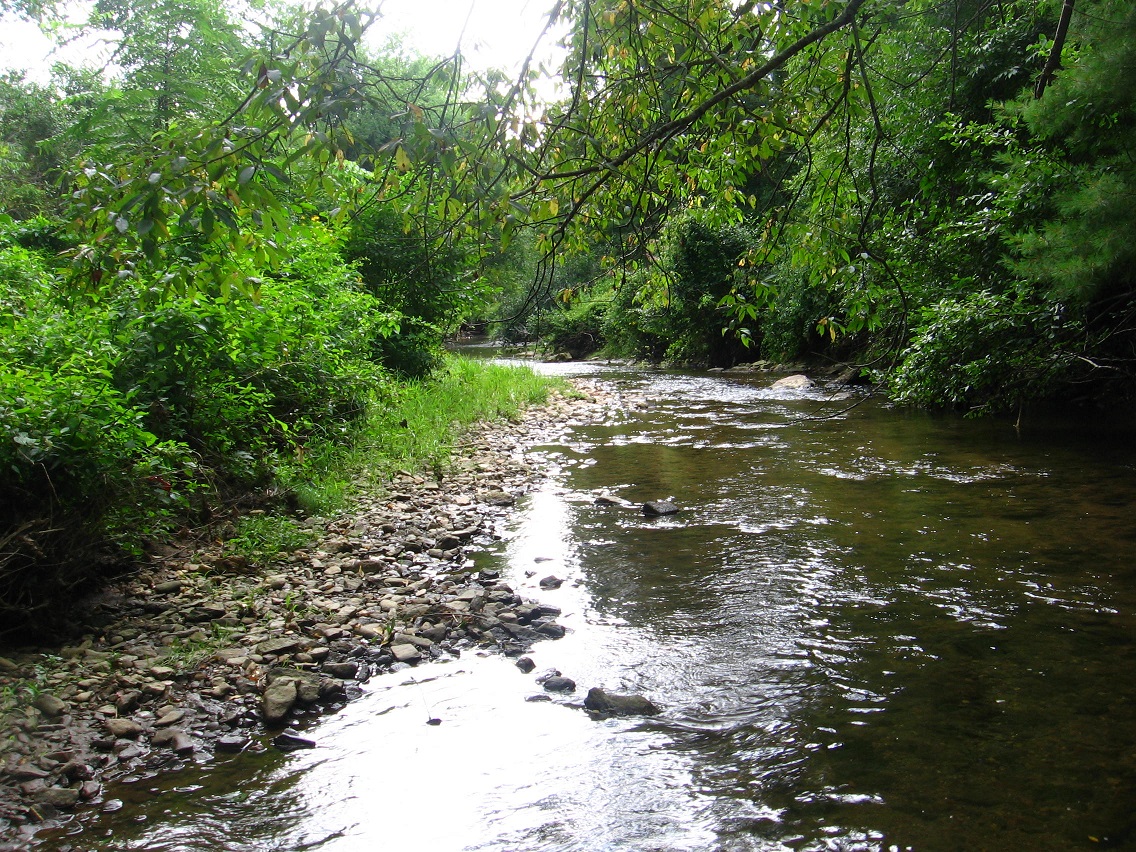
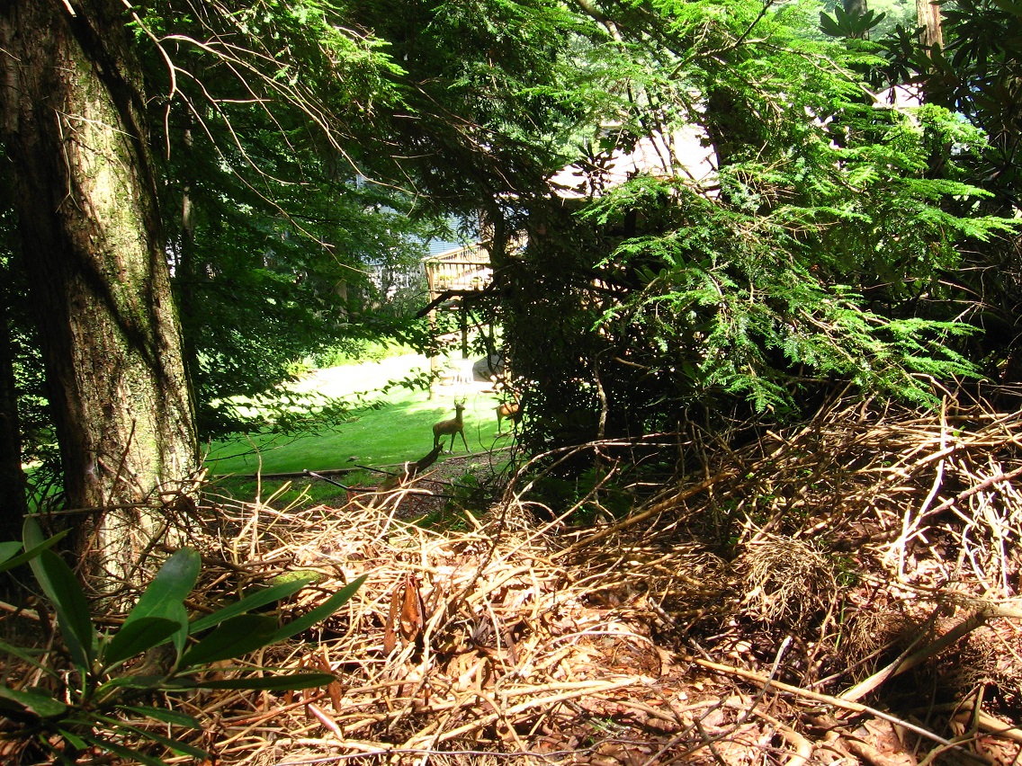
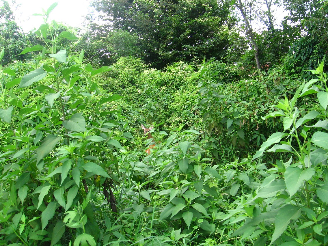
We return now to that wider strip of land between commercial property and creek just north of ALO, or perhaps part of it — unsure still. Oh, I remember I call it Peanuts now, because of the actual owners of the land. Inside blog joke. I spotted 3 deer at the south end of this strip as I waded upstream in Leola Creek toward it. Amazing how animals adapted to their environment. I would not have guessed that there was enough wildland here to safely sustain them. I didn’t manage any pictures of ’em, however.

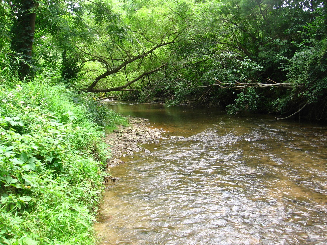
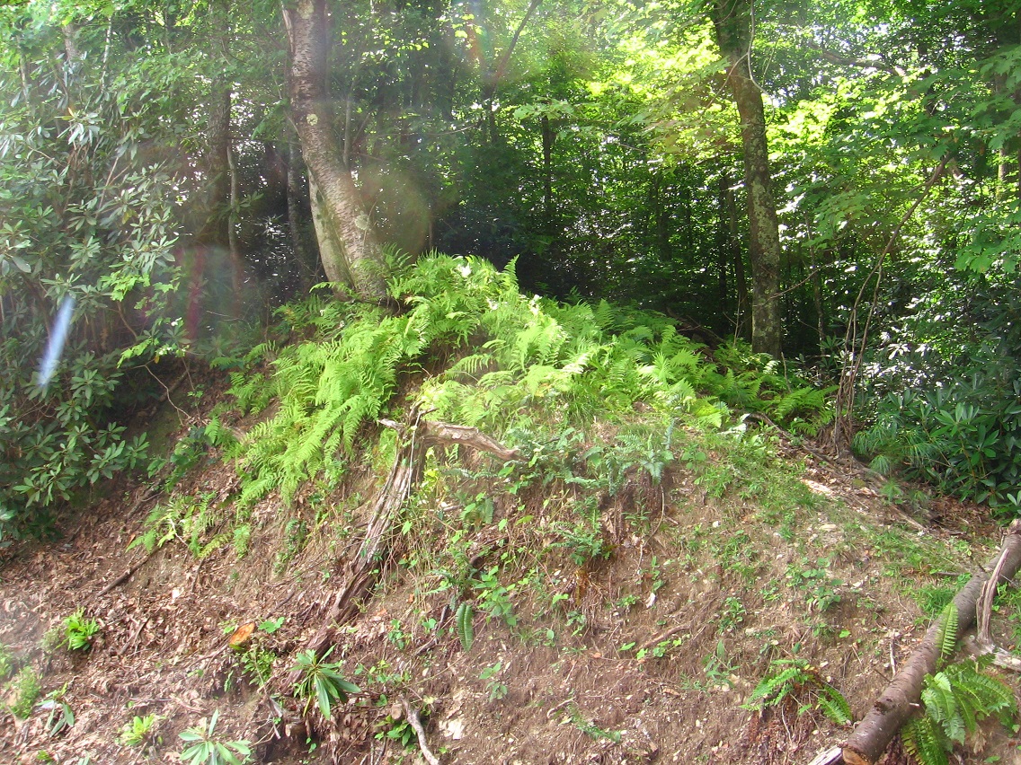
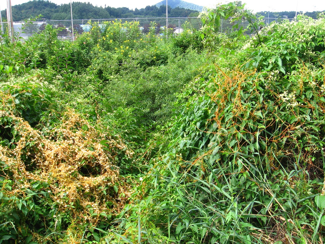
The tree pictured below, a willow I believe, lies instead toward the northern end of Peanuts (originally: Peanuts’, as in Peanuts’ land?).

IMG_0119smaller

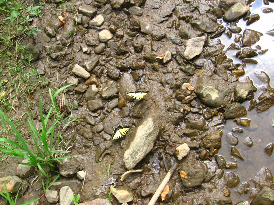
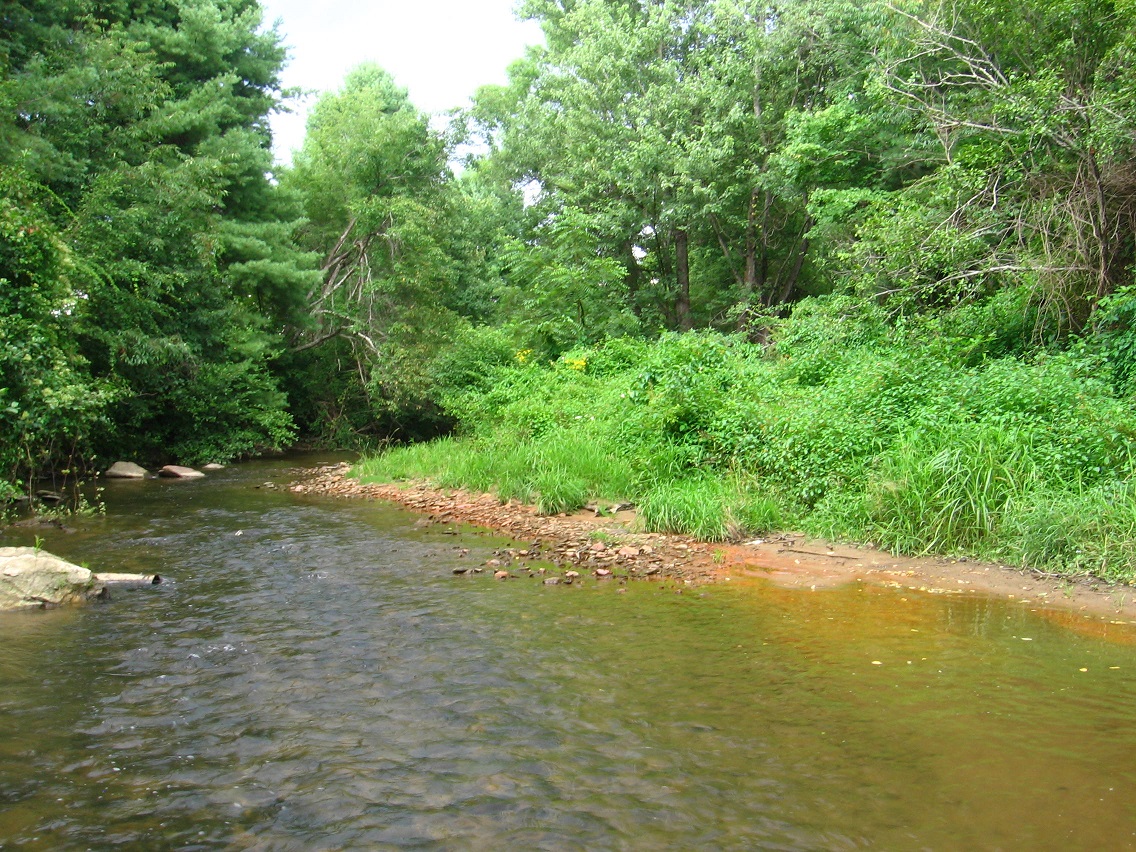
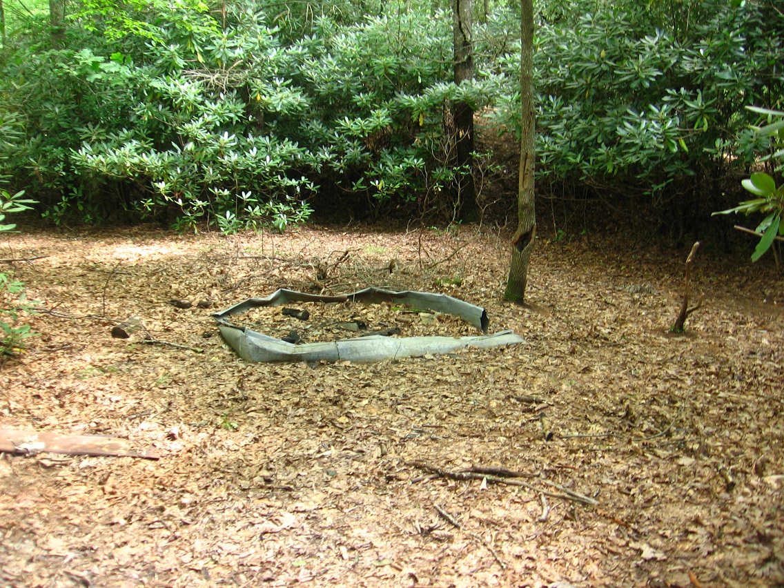
This is what I call Small Beach, not far from the willow. Peanuts also contains a complementary Big Beach that I’ll get to in a moment.

IMG_0122smaller

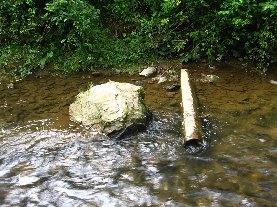
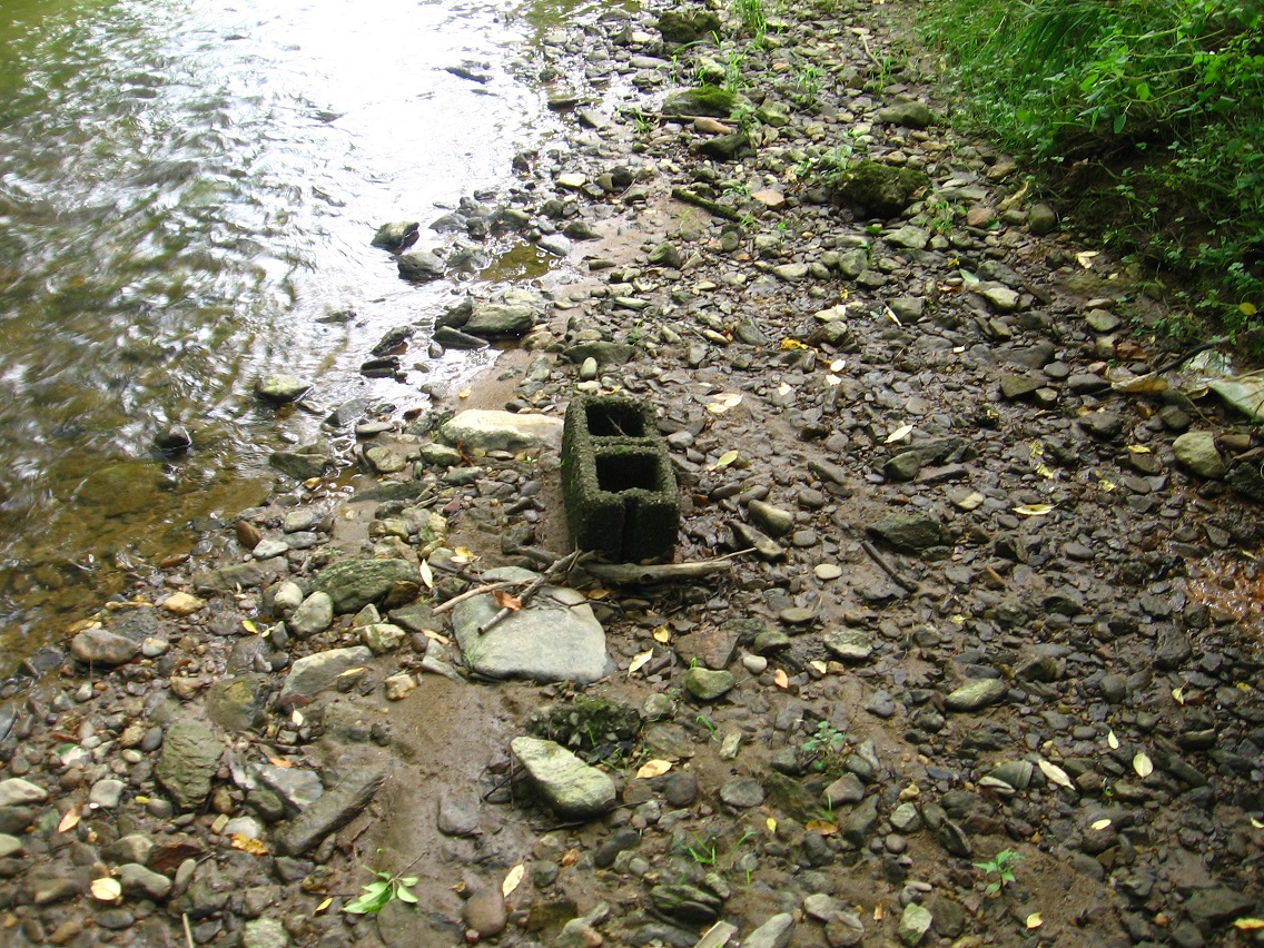
Pipes — I still didn’t take any really satisfactory pictures of the numerous drainage type pipes marking Peanuts’ western border. But soon! I also want to craft a map of the place.

IMG_0128smaller

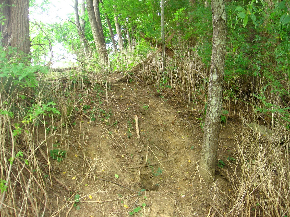
A path starting up a bank connects Peanuts to a narrower wooded area to the north. Obviously this is used by deer. I didn’t want to walk too far up it because I could possibly be spotted by fellow human beings from a flanking parking lot.

IMG_0130smaller

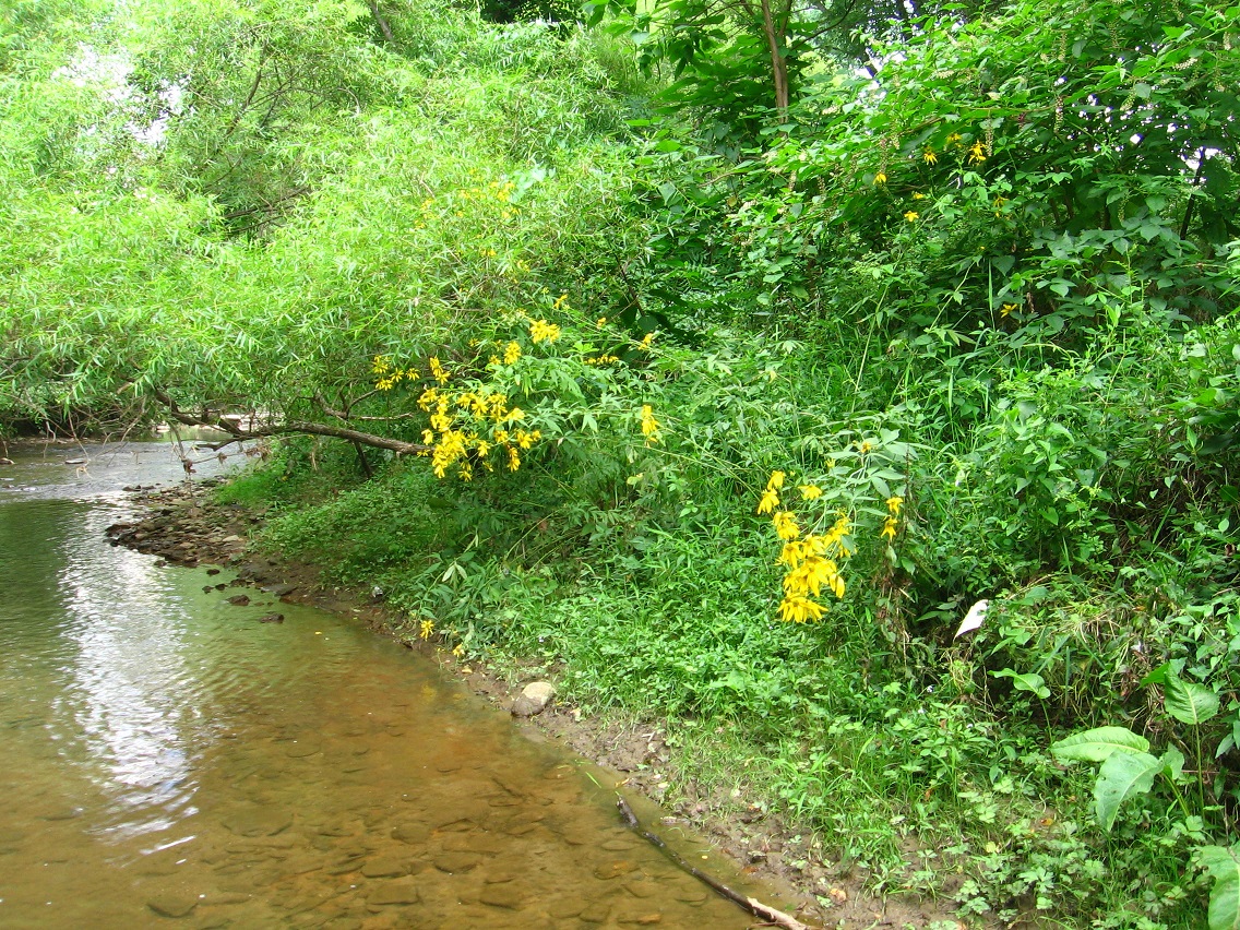
Yellow flowers growing on the stream bank between Peanuts’ Small Beach and Big Beach.

IMG_0148smaller

Leave a comment

Filed under Blue Mountain

Baker B. Interview, August 2015

Interview of Baker B. by Karl Tune, up and running!

https://bakerbloch.wordpress.com/baker-b-interview-2015/

This is the twin to the Karl Tune interview already completed. A 2 fer 1 dealie as I described it within!

Leave a comment

Filed under Carrcass Artists

Carrr

“Hi Carrcassonnee! Good to be with you tonight again.”

Carr.:

Hi Baker B. Capitals back. Moscow. Peking. Yea!

bb:

But not here.

Carr.:

Nooo.

bb:

My interview of Karl went swell, Carr. Now we’re on mine. It’s slowly but surely wrapping up.

Carr.

I told you . Didn’t I tell you?

bb:

Yeah you did. You are as psychic as Hucka D.!

Carr.:

I art art.

bb:

What about that hill? *The* Hill. (smile)

Carr.:

I art on The Hill. I art. I hill.

bb:

What does that mean?

Carr. (repeating):

I art on The Hill.

bb:

I don’t know. Art on The Hill. You are the art on The Hill?

Carr.:

I art. (pause) I hill. (pause)

bb:

How about the house?

Carr.:

I art house. We are wonky tonight. Why?

bb:

Unsure Carr. Sometimes the return skips a line. Don’t know why?

Carr.:

I know.

—–

bb:

Oh. Wrong format. Ha.

Carr.:

Anything else. I clarify soo much. I art good genius!

bb:

Guess not. Any comments about the Blue Mountain Urban Landscape?

Carr.:

Watch me paint!

bb:

Thank you Carrcassonnee. You’re wonderful.

Carr.:

You’re dead.

Leave a comment

Filed under **VIRTUAL SL

The Hill 02

The miraculous top of The Hill. I didn’t expect *this* at all: some kind of old children’s fort or perhaps a squatter’s former home. Complex and also dilapidated enough that it’s difficult to tell exactly what it once was. I’ll let my overexposed pictures attempt to speak the story for now.

IMG_0081smallest

IMG_0082smallest

IMG_0084smaller

IMG_0088smallest

Angel lying in front of what appears to be a door. Front? Again I can’t really make much heads or tails of the structure.

IMG_0090smaller

Nearby rotting trunk with an old stick of deodorant.

IMG_0093smaller

There’s what appears to be some native rocks in the vicinity as well.

IMG_0094smaller

Back down at The Road.

IMG_0109smaller

And now further down at The House. Is this our yard???

IMG_0111smaller

The Hill in reference to the Blue Mountain Urban Landscape. Technically it is part of that landscape I would assume. ALO on Leola Creek is in the center of the background.

hill05

Leave a comment

Filed under Blue Mountain

The Hill 01

The Hill is a marvelous marvelous place in the center of Blue Mountain city. It’s clearly magical and has ways to protect itself from development. But for how long? That has become a key question. A key question indeed. 10 years out — well that’s probably okay. But if it starts to get developed next year then that’s more of a problem. Much more. Of course I’d rather not see it developed *ever* but this is a growing city and The Hill represents an improbable spot of leftover nature. It will be razed. Just a matter of time.

We start nearer the bottom of the hill at The House. The House? Is it our house? It is in a probable reality. More on that soon. The bricks here might become part of a New Monkey City. Have I mentioned Monkey City on this blog? A couple of time, especially in connection with “another” New Monkey City over in Frank park near Whitehead Crossing.

IMG_0041smaller

A pretty straight path goes in a northeast direction up the hill from the road below, reaching a point formerly called The Beach. The Beach on The Hill, ha. I haven’t visited this place in maybe 20 years. Maybe 30. And it’s really changed. I remember it to be covered with moss and lichen, which are nowhere to be seen now.

IMG_0044smallest

Before starting up The Path we detour to a bank (The Bank?) that gives us a nice view of a commercial strip below us and then ol’ Blue Mountain itself rearing up in the background.

IMG_0046smaller

After about the length of Blue Mountain State College’s football field, this path crosses the grassy remains of an old road that runs around the south and west side of the hill. I suppose this becomes, then, The Road. More capitals.

IMG_0048smaller

If you follow the old road northward from here you soon come back into civilization in the form of Blue Mtn. residents’ backyards on a bordering northern street. Here we see faux deer in one of those backyards. Didn’t come when called.

IMG_0051smaller

We jump to the top of The Hill now with this picture, or more specifically, the edge of a pretty steep bank marking its western side. I thought I’d include the photo because of possible light spirits involved. Spirits of The Hill. Probably not, but also probably worth a thought anyway.

IMG_0061smaller

Moss covered rock at the base of a tree passed as we approach the top from the other side.

IMG_0066smaller

Then following The Path *down* from the top soon brings us to The Beach. I suppose I’ll still call it that even though it has nothing of the appearance it did before that gave it a beach-y feel.

IMG_0068smaller

Purple mushroom on The Hill.

IMG_0071smaller

Red leaves on The Hill. Is it Fall already? Jees.

IMG_0077smaller

Leave a comment

Filed under Blue Mountain

BL Urban Landscape Again

Picnic table near Point-1 is getting more rickity. Pizza time! Maybe they didn’t like their pizza and pitched a fit there. Put their foot down about it, ha.

IMG_0009smaller

There’s that deer again! And in the same exact spot. LINK I’ve seen quite a number of deer now in the Urban Landscape. Surprising since there’s so relatively little of the woods there. Deers adapt.

IMG_0011smaller

I believe this stringy yellow plant is called Golden Dodder, a parasite.

IMG_0015smaller

I took this picture beneath the Point-0 Bridge and didn’t realize the woman to the right (between columns) was sitting there beside the creek until a minute later. I’m not sure what she was doing, but later I spotted plants arranged on a rock near where she was sitting. Offering to the creek?

IMG_0024smaller

Green. Just green.

IMG_0025smaller

Canine Pool has been filled to the brim with recent rain. We’ve had some downpours lately.

IMG_0027smaller

It’s obvious that during heavy rain Canine Pool spills over into the road, perhaps flooding these apartment houses at times. Not wonderful.

IMG_0028smaller

And this day I was very excited because complementary Molar Pool was also filled with water. It’s shallower still of course. I’m not sure why one manhole cover in front of it is colored blue. Is this symbolic of the pools themselves which it’s positioned between? One blue (with water) and one not usually? Who knows what messages the Urban Landscape taunts in our face to recognize?

IMG_0029smaller

This is a car nearer Point+1 celebrating the life of a famous Blue Mtn. State College football coach. I’m not sure why the car is painted dark brown instead of blue. Oh… blue paint again (!).

IMG_0035smallerb

And again! (picnic tables even nearer Point+1)

IMG_0040smaller

Leave a comment

Filed under Blue Mountain

In Minoa for another month

Put the great majority of my mainland holdings up for sale last week, but no buyers before the tier payment came around today. But it’s no big money burden. Maybe more Collagesity mythology will be generated now.

Snapshot2002_007

Leave a comment

Filed under **VIRTUAL SL, Heterocera, Rubi^

Karl Tune Interview, July 2015

My interview of fellow audiovisual syncher Karl Tune has been completed. I didn’t know some of the info he talks about and you might not either. Enjoy!

https://bakerbloch.wordpress.com/paradox/syncher-interviews/karls-interview-2015/

1 Comment

Filed under Carrcass Artists

BM Urban Landscape 08/02/15

Surprising rock wall on Leola Creek just beyond what I’ve determined is the west end of the Blue Mtn. Urban Landscape. What a find!

IMG_0003smaller

Even closer to Point+1 on our BMUL map is this viewing deck, accessible via a complex, winding staircase from the apt. buildings on the ridge above.

IMG_0010smaller

Then directly opposite it is what can only be described as a rather large scale rock art installation, centered by a long walk created directly beside the creek. To give some location reference, you can spot the bridge at Point+1 in the background glare if you look closely.

IMG_0012smallest

The installation, as I’m dubbing it, includes a considerable number of internal features such as this small bridge.

IMG_0013smallest

The main building of the property exhibits this primitive art painting in a window… reminds me strongly of a Howard Finster picture. Are the painting and the rock path created by the same person?

IMG_0016smaller

Interesting chair overlooking Leola Creek on an adjacent lot.

IMG_0021smaller

With its several levels of meaning, this area obviously acts as an important western extension of the Blue Mtn. Urban Landscape. I shall return here soon!

1 Comment

Filed under Blue Mountain