
East AOL, with Leola Creek running across the photo northwest to northeast.
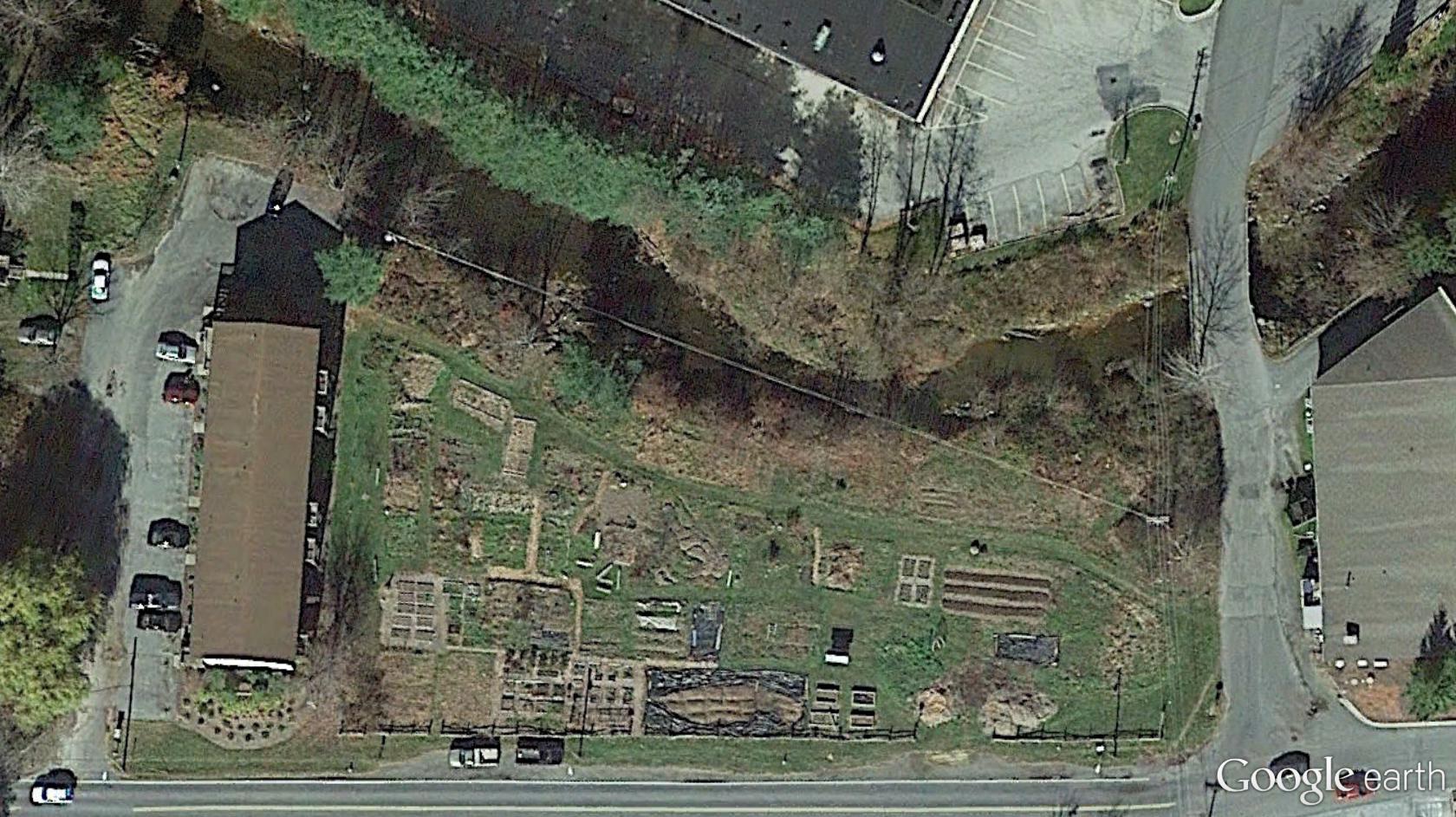
West AOL. This is also what I’ve been calling Peanuts in the Sunklands blog, an important location and perhaps home to several deer as well. Hemmed in by society as it were, in a pocket reality.

Still moving up Leola Creek, we now come to the meeting between it and Blue Mountain Creek (right), of about the same volume of water apiece. A true fork in reality. Below this point it could have just as easily been Blue Mountain Creek instead of Leola Creek. Can we visit this parallel world, ala a Fringe event? What would be the differences between the two, if so?

We keep moving up Leola past the important fork with Blue Mountain. We’ve reached what in former days was called the Maynard Jackson Mall (left), now just called the Town Mall. Why the change (I ask myself)? In the mid-1980s, I use to work for Maynard Jackson personally, although via an intermediate boss known as Roach. Now I find out that a piece of property actually in Roach, Missouri is supposedly for sale on a street just west of the mall, at least according to Zillow. Obviously this cannot be. Let’s examine that illogical situation more here LINK.
The larger rocky beach with one of the two mysterious spheres in the creek is almost dead center in the below photo. Again, I believe you can faintly see the reflection of this sphere in the photo as well. But like Uranus it’s hard to spot. LINK

The grassy area (center) containing Canine and Molar Pools from GoogleEarth. We are almost directly south of the photo just before this one. Hmmm… more collage possibilities?

And then we just keep continuing west along Leola Creek, reaching the geodesic domed church and the picnic areas across the stream from it that include the 6 sided table and also matching red and blue tables we’ve seen before in this blog.

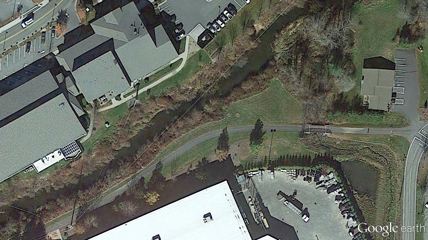
In the center of this particular photo: Point-0, marked by a prominent Blue Mountain bridge spanning Leola Creek. We’re about a third of a mile east of AOL now, heading downstream on this waterway instead of upstream.

The greenway trail that starts just beyond the eastern border of AOL continues to parallel Leola downstream past Point-0. The pool in the lower right corner of the photo is pictured here LINK.
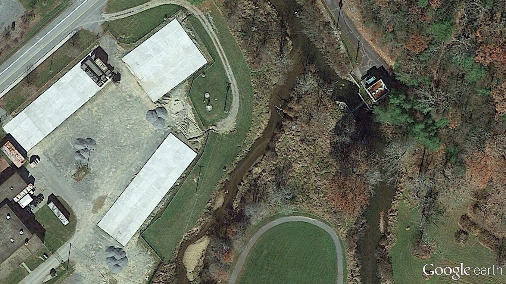
Mouth of Leola and an ending loop of the Blue Mountain greenway system.
