
I didn’t go down into Red Head yesterday. My back still isn’t completely healed up, and apparently walking on uneven ground for lengthy spells still irritates it some. Explorations in and around Red Head do *not* involve long stretches of level ground. It’s all uneven to a degree. Which gets to my news today. I *did* find a pretty easy way into Red Head day before yesterday, through relatively open woods. But it’s a descent toward the end, because the stream probably lies 250-300 feet below the top of the ridge I hiked along to get down there. I’m going to give it a name even: Martin Ridge. The side trek peels off from the Maine Trail before it too takes a sharp turn downward in heading toward the direction of Whitehead Crossing proper. And it was also reinforced to me the same day that there really seems to be no easy way at all to get from one to the other. Red Head is effectively blocked from Whitehead X-ing. And that’s good in a way, and how it was “designed” I’m sure, let’s put it. That person or those people constructing and using the WH X-ing teepee, for example, probably can’t get to Red Head, even if they heard me over there walking about.
Interesting grouping of tree trunks encountered while heading down the ridge to Red Head:

Remember: When Allen and Martin switch places with each other, all will be revealed about Whitehead X-ing, Red Head, and all the rest. But that switcheroo is probably a considerable distance in the future still, perhaps decades and decades.
And I believe my intense focus on Middletown is over for the moment because of the Red Head findings. My attention is fully on Frank and Herman Park presently and the Blue Mtn. region. For now.
Red Head: general areas.
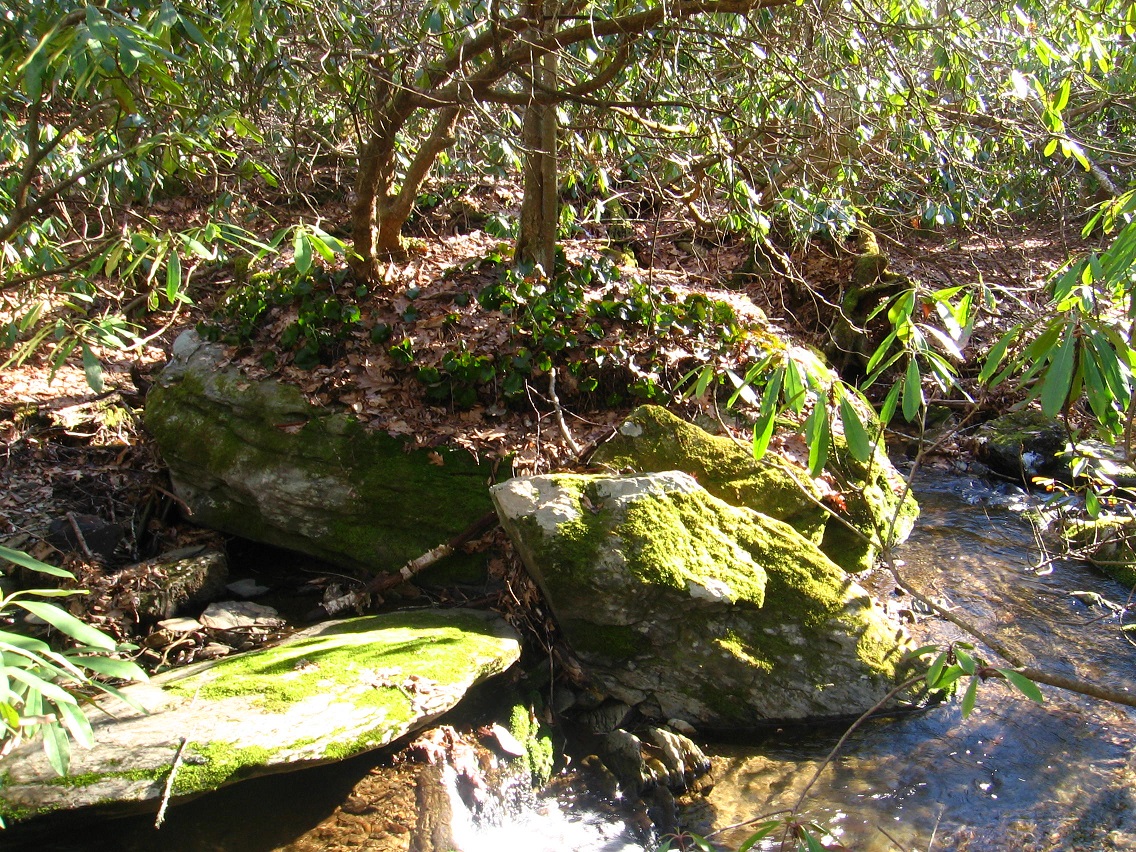
Green Stream is the spine of the area. Two blocks of cascades help define its passage through Red Head. The first block creates an area that reminds me of Billfork in character, with a standout-ish rock and also a side spring, like Billfork has Billrock and Billy Spring. This block really only has 2 well defined cascades if memory serves — at its beginning and end. The first or top one starts around the place where the largest rock of the area is encountered. I still do not have a name for this rock. I’ll give a picture of it again…
The second cascade, a mossier one (Mossy Falls?), comes right where the side spring empties into Green Stream. Unfortunately I still have not created a blog worthy photo of it; will try again quite soon (today? Sunday?).
Rocks near top of first cascade:

Interesting rusty piece of metal jutting from the ground there:

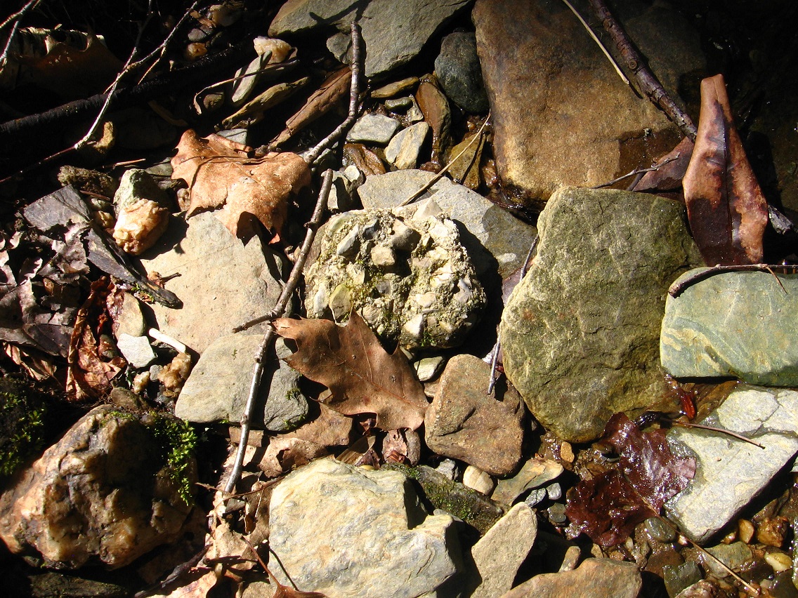
Manmade rock:
First cascades. Esp. interesting seeming, squarish rock in the middle of the mossier ones here; can you spot it?

