
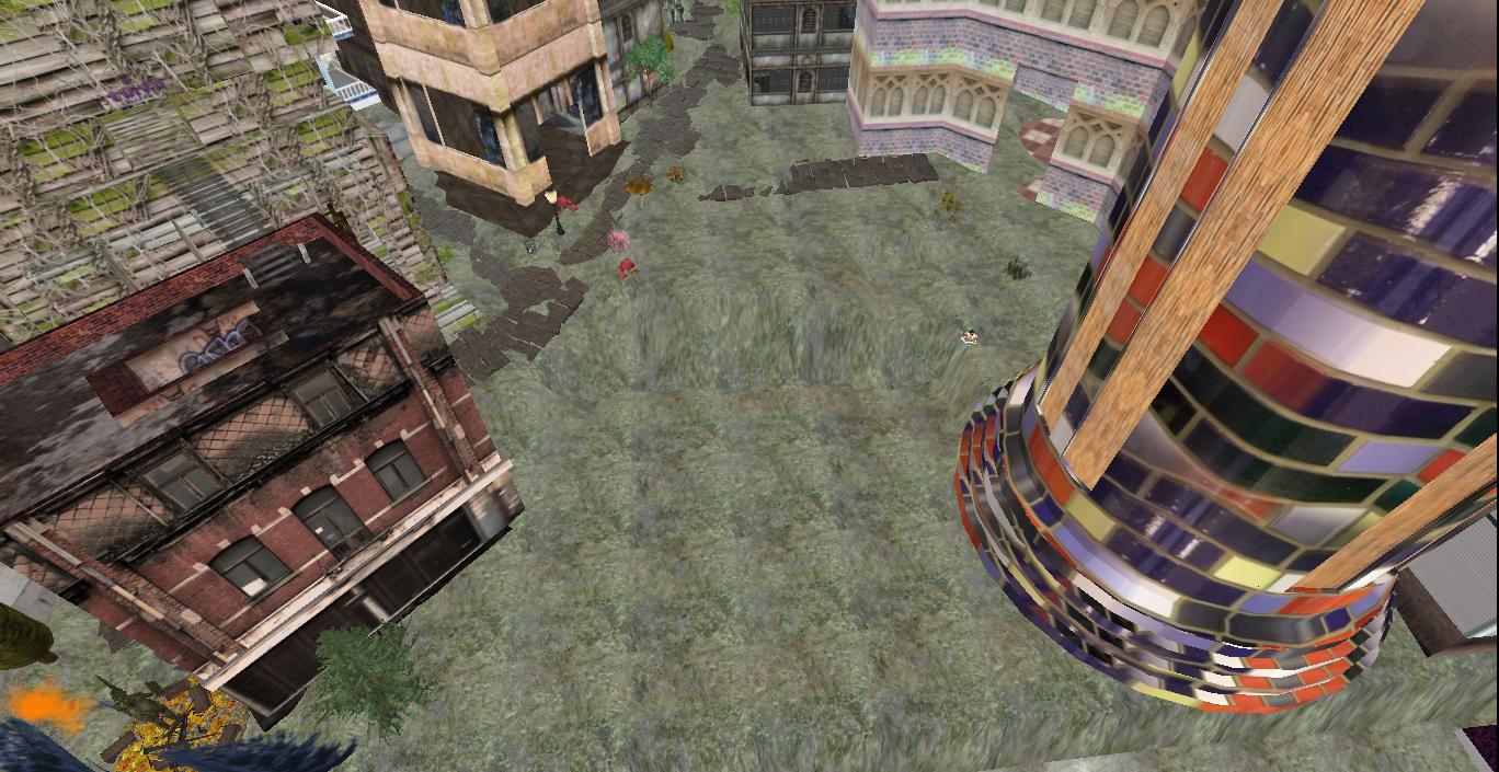
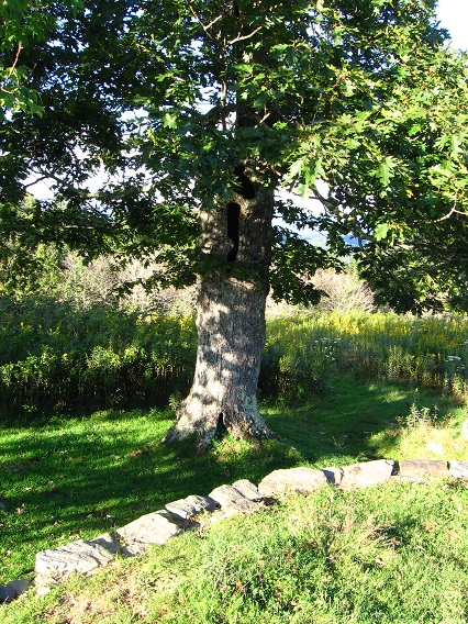
What will be called the traditional entrance to Tinsity according to Hucka D., who is able to peer into the future with his prescient bee vision. Is Tinsity that important? According to Hucka D.: Yes. The trail can be seen to veer off from the carriage road in the lower right corner, next to the barb wire fence. Presently this is only a secondary cow path, with the general public not knowing anything about its ultimate importance. Is it really that important? Yes, answers Hucka D. once more. I’ll just have to take his word for it for now.
The large tulip/poplar tree acts as a nice landmark for the trail’s beginning. Hucka D. further states that this positioning means that the trail will be pop(u)lar in the future. I’ve told him just to stop with the silly puns.
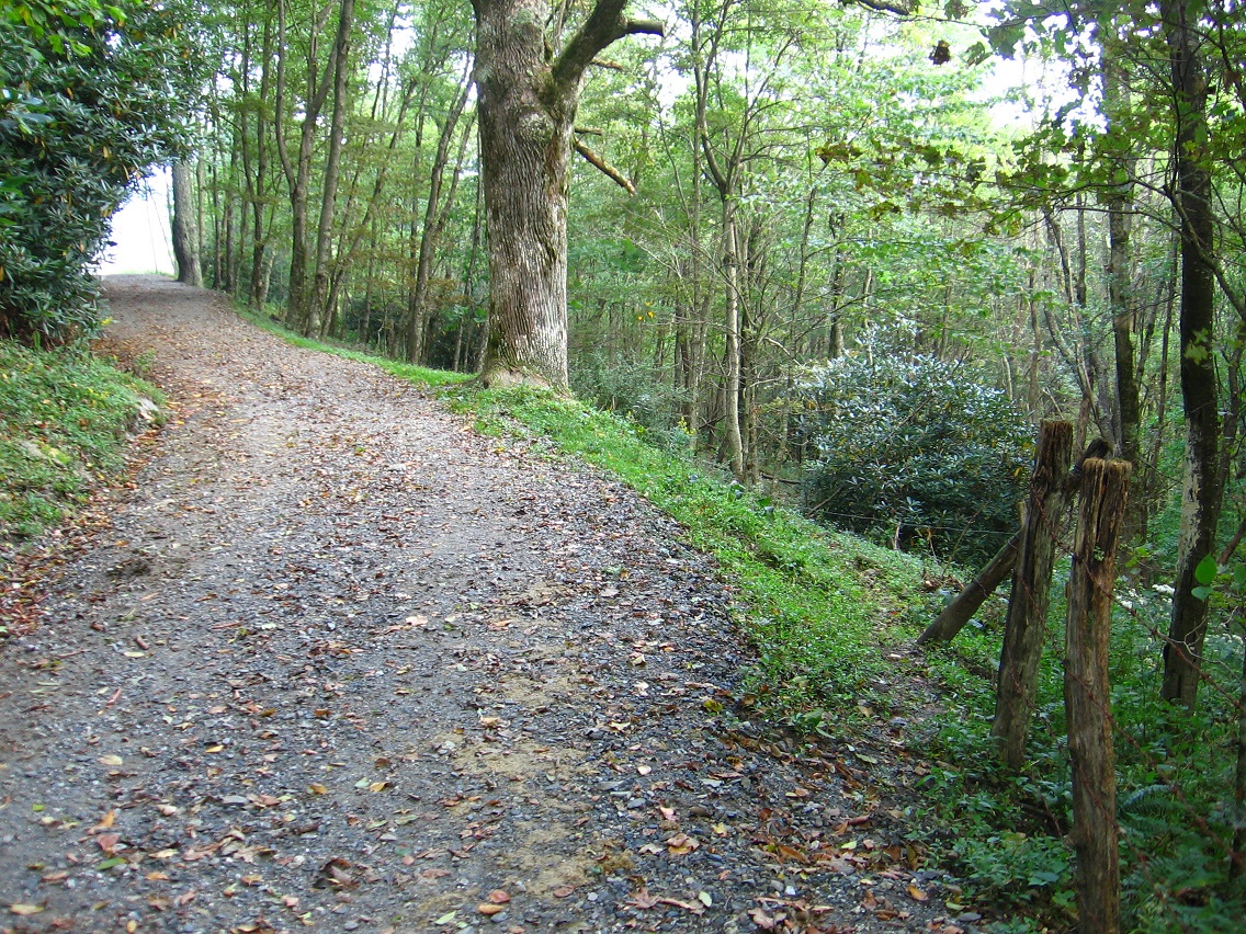
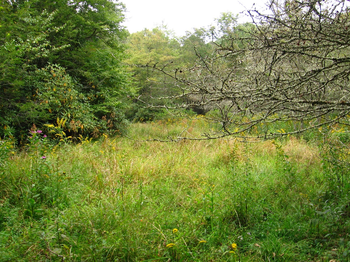
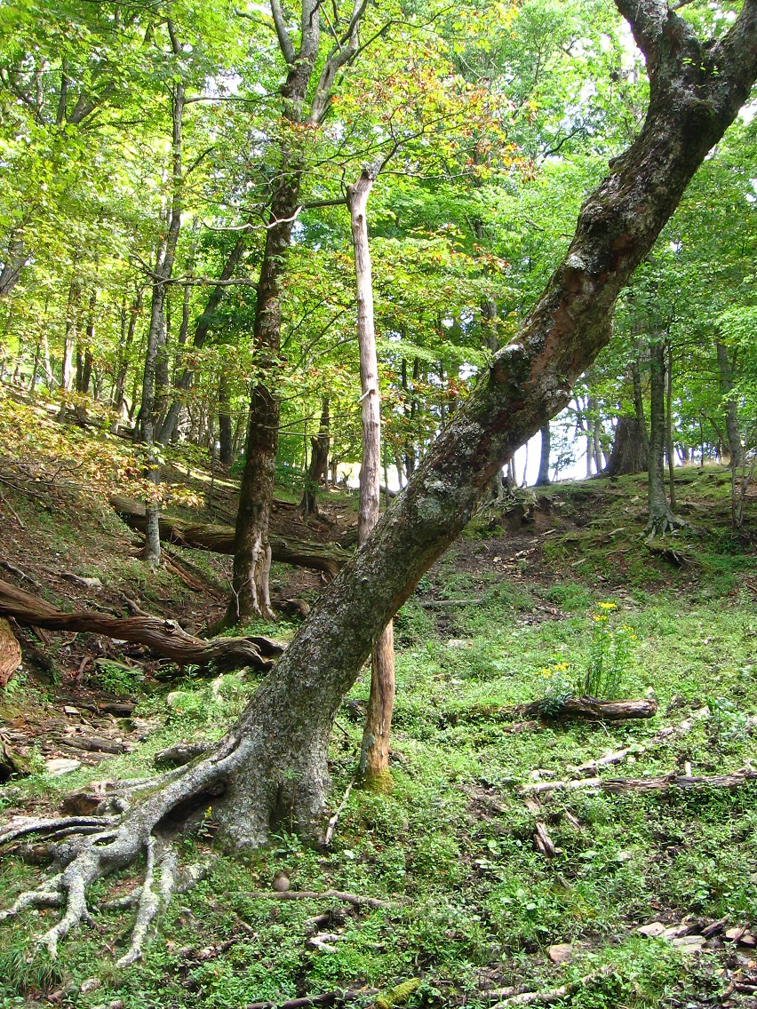
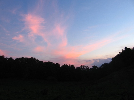
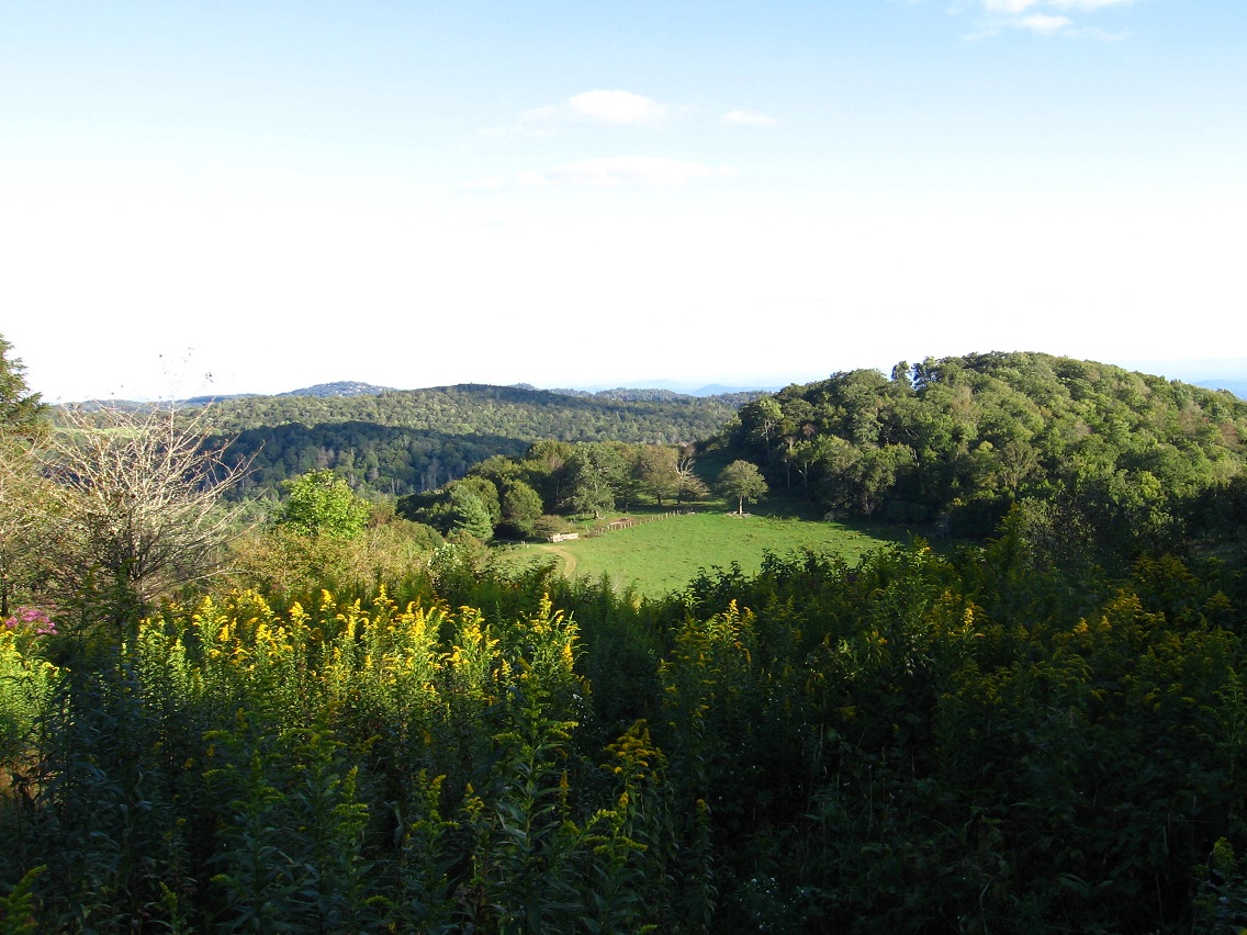
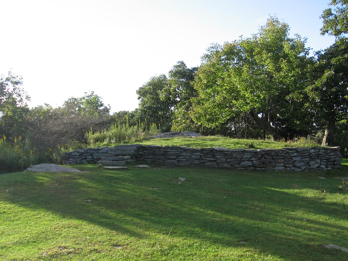
If you continue on the road you’ll soon come to a large meadow region with nice views to be had all around.

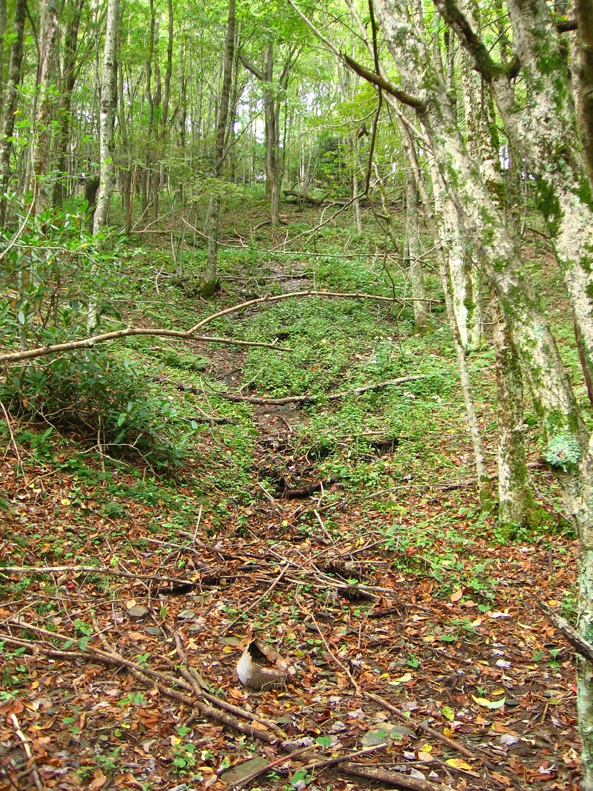
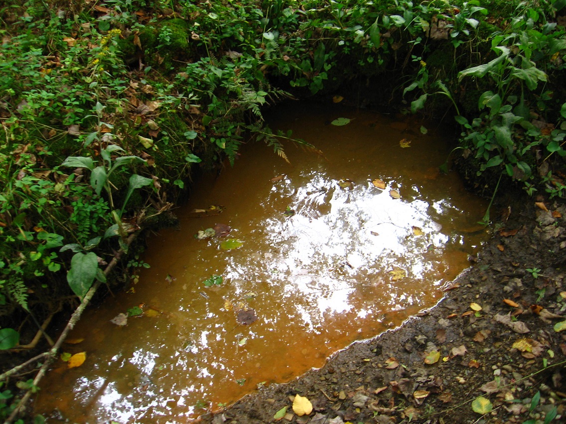
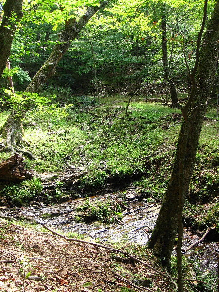
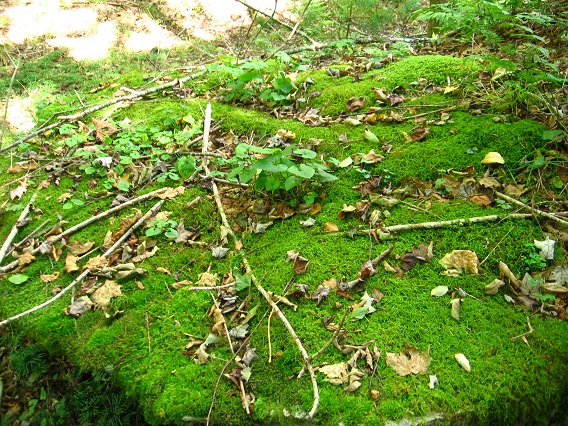
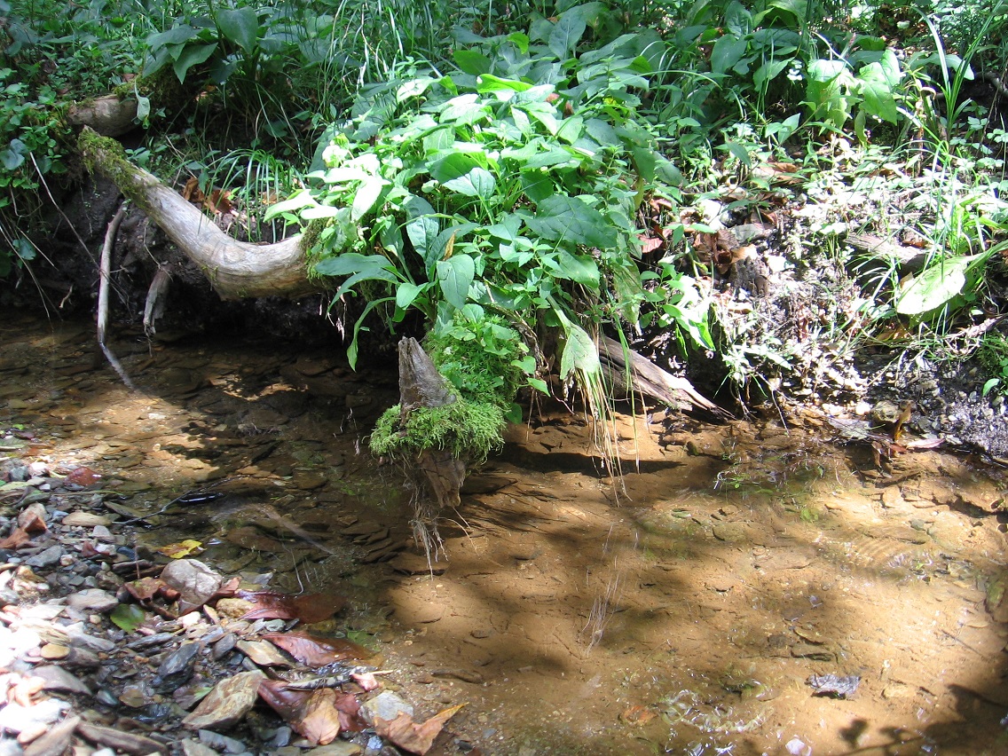
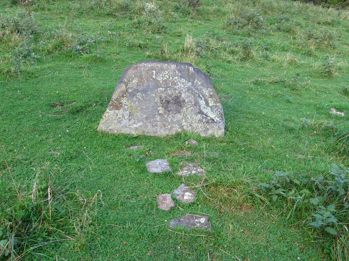
If you continue down the Tinsity Trail instead, you’ll soon come to an interesting landscape depression pictured below, of unknown importance or origin. I think Hucka D. wants to revisit this depression in the future. He’s stating something needs to be inserted there. The depression lies directly above one of the several seeps that run down to Green Oz Creek in Yellow Down, perhaps 5 or 6 in number. Will each one garner a separate name?

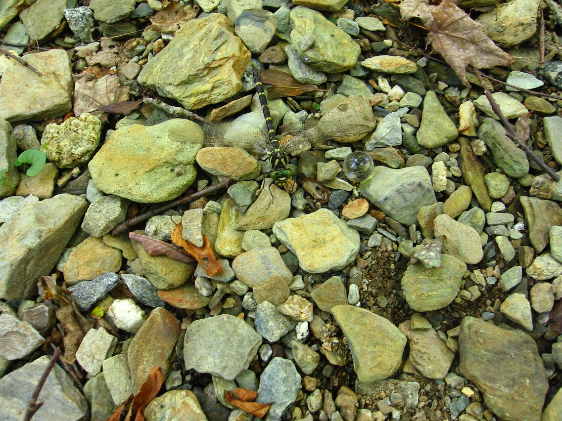
Holey moley! You can imagine my reaction when I spied this skull across perhaps the same seep lower down, suspiciously well positioned on a small, flat ridge just above. From this angle it certainly looks alien, or at least dinosaur-like. To my relieve (phew!), it’s actually a cow skull turned on its side. But what an illusion, given all else that’s happened in Yellow Down before it! I plan to make a separate posts reviewing photo oddities from this region in the coming days.

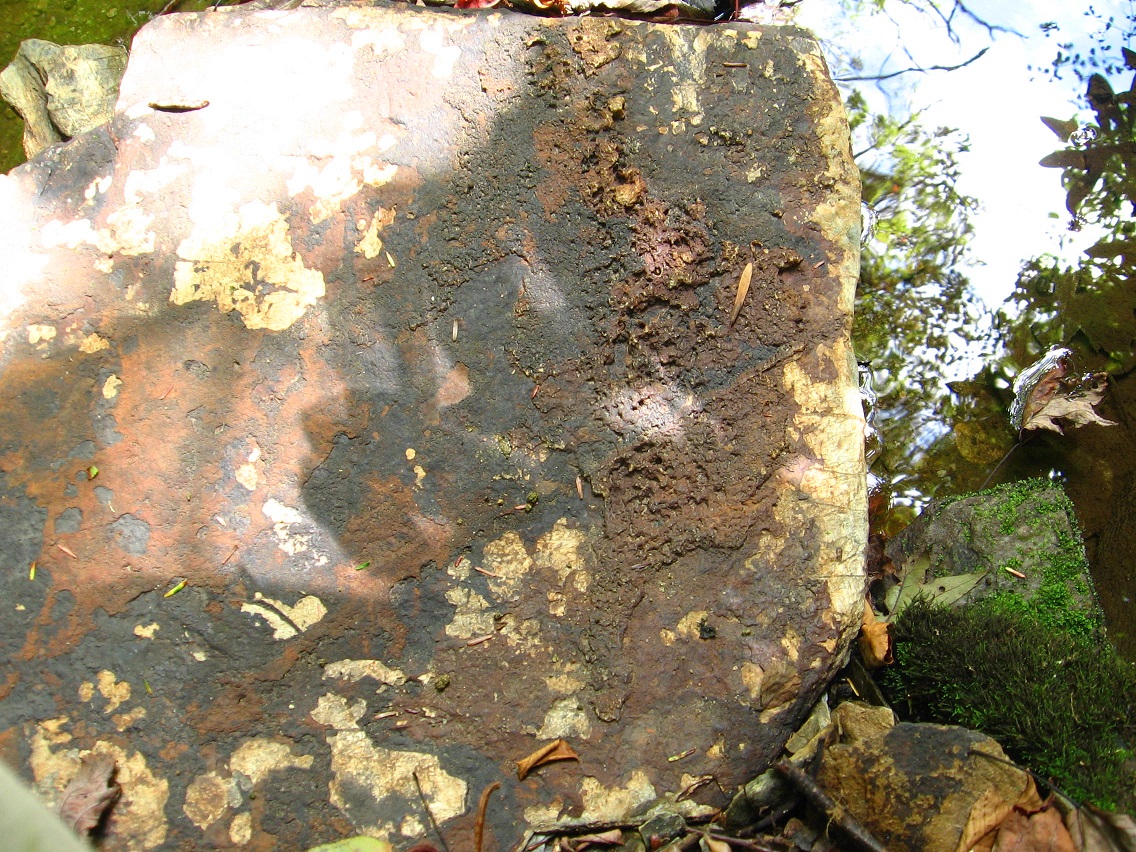
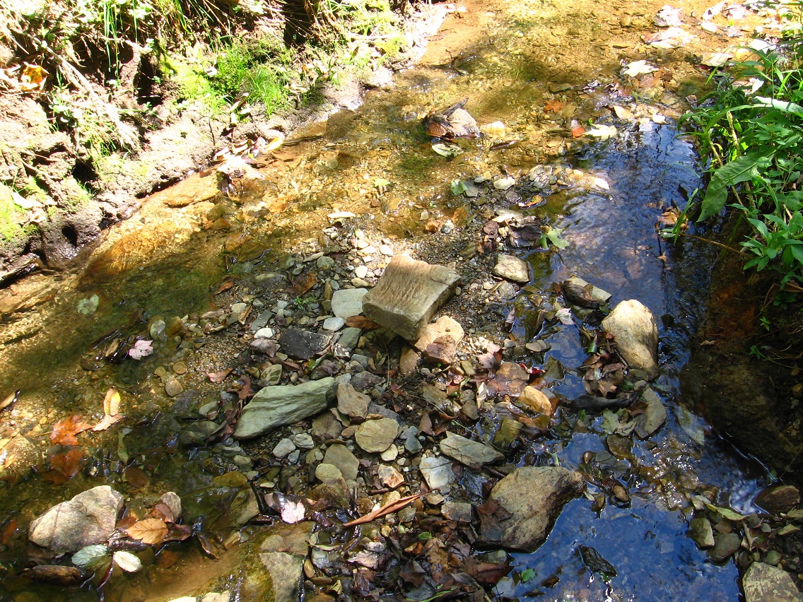
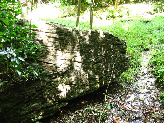
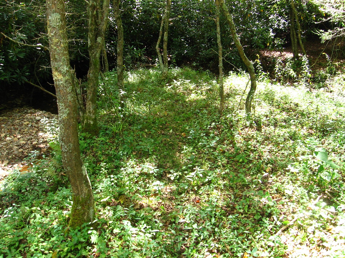
This same seep empties into Green Oz Creek very near the previously discussed Rib Rock, already associated with reptiles and dinosaurs through a Flintstone lineage. The ridge with the cow skull is inside the shaded area at the top of this photo.

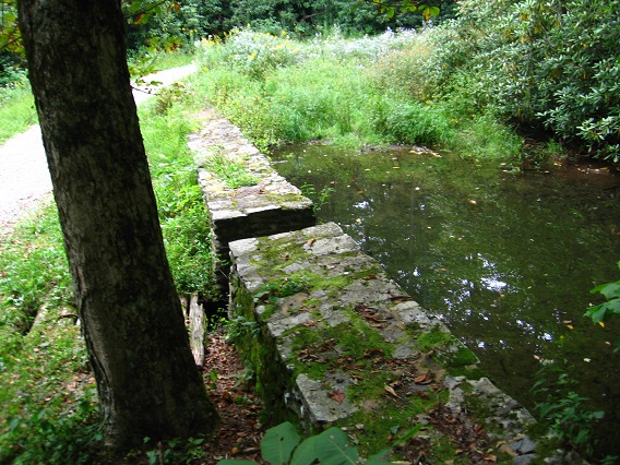
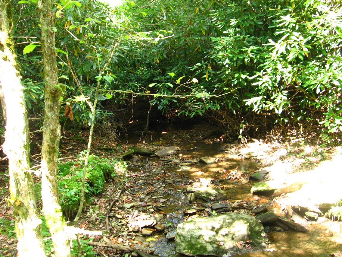
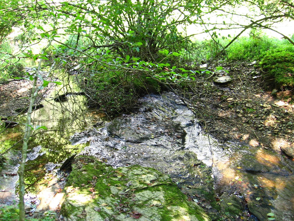
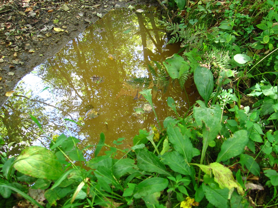
Green Oz Creek shoreline nearby.
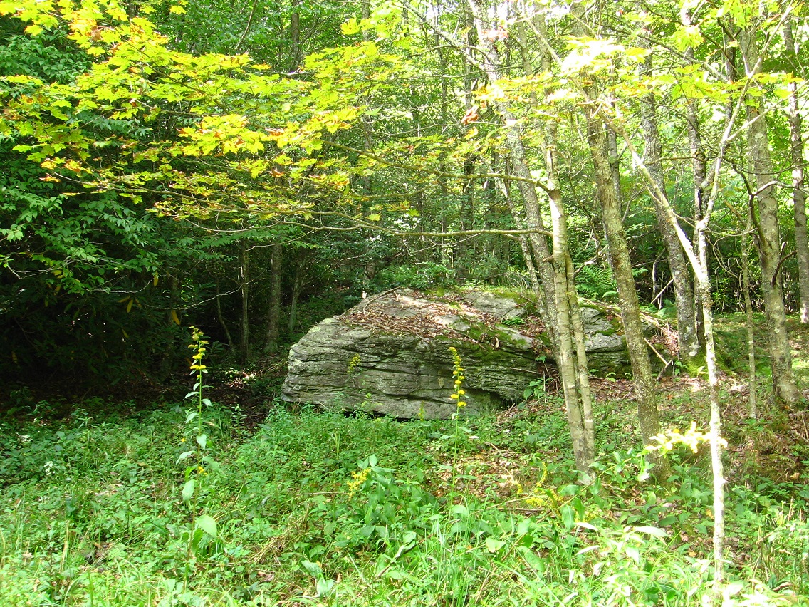
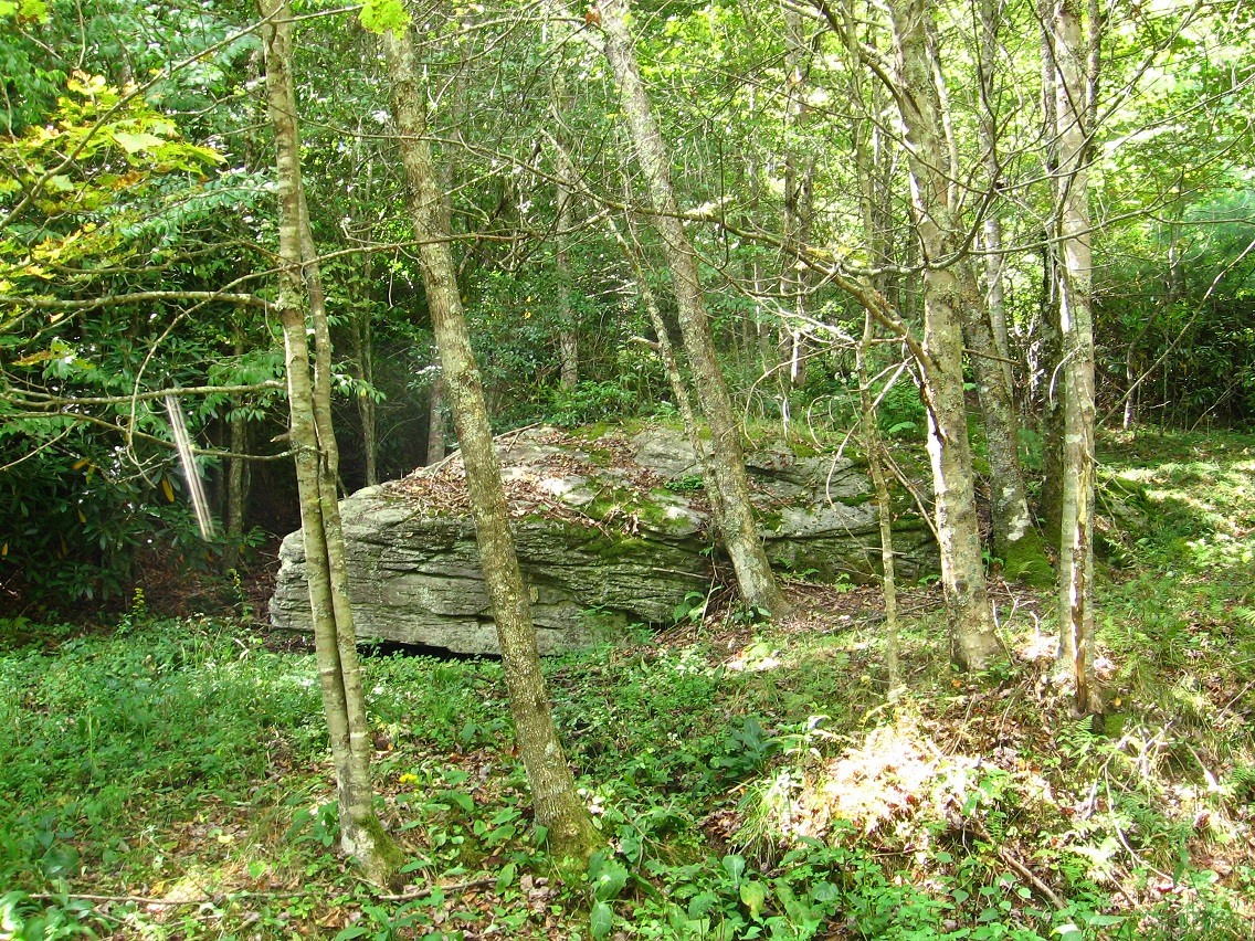
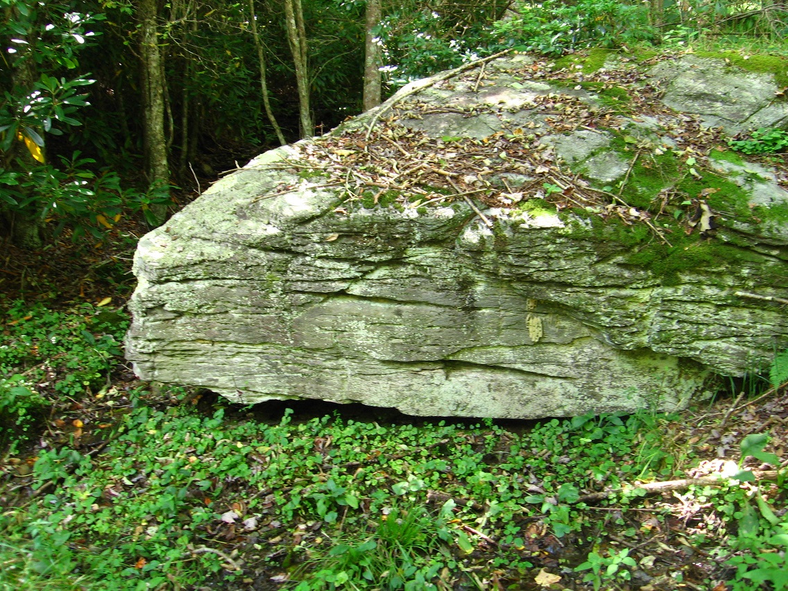
Moving a bit further downstream, we have a photo of 2 more interesting rocks near View Rock, itself perched just above Green Oz Creek below I. Rock. For the record, we presently have 3 named rocks in Yellow Down: View Rock, I. Rock, and Rib Rock. But with more appellations to come, I’m assuming.

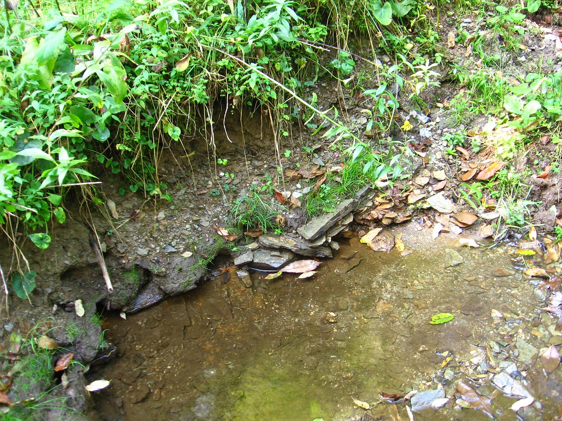
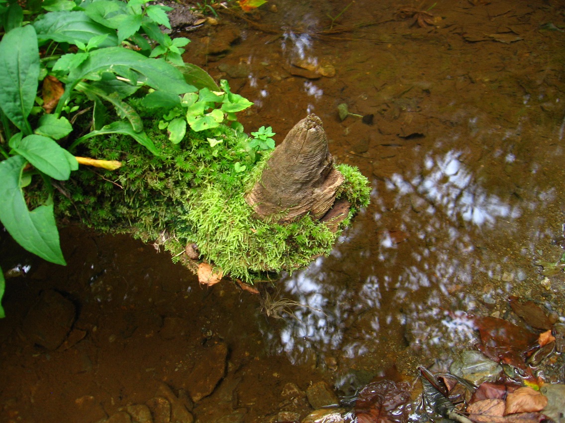
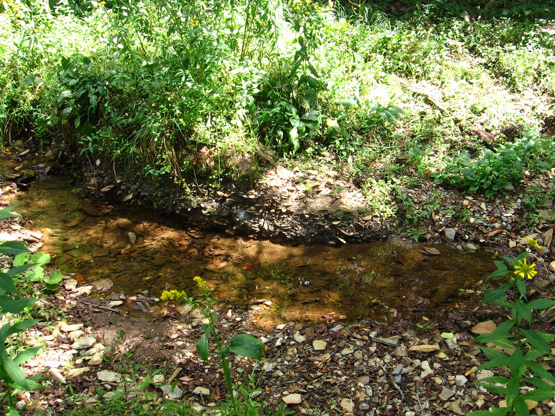
Another seep in Yellow Down, this one with an old pot near its leafy source.
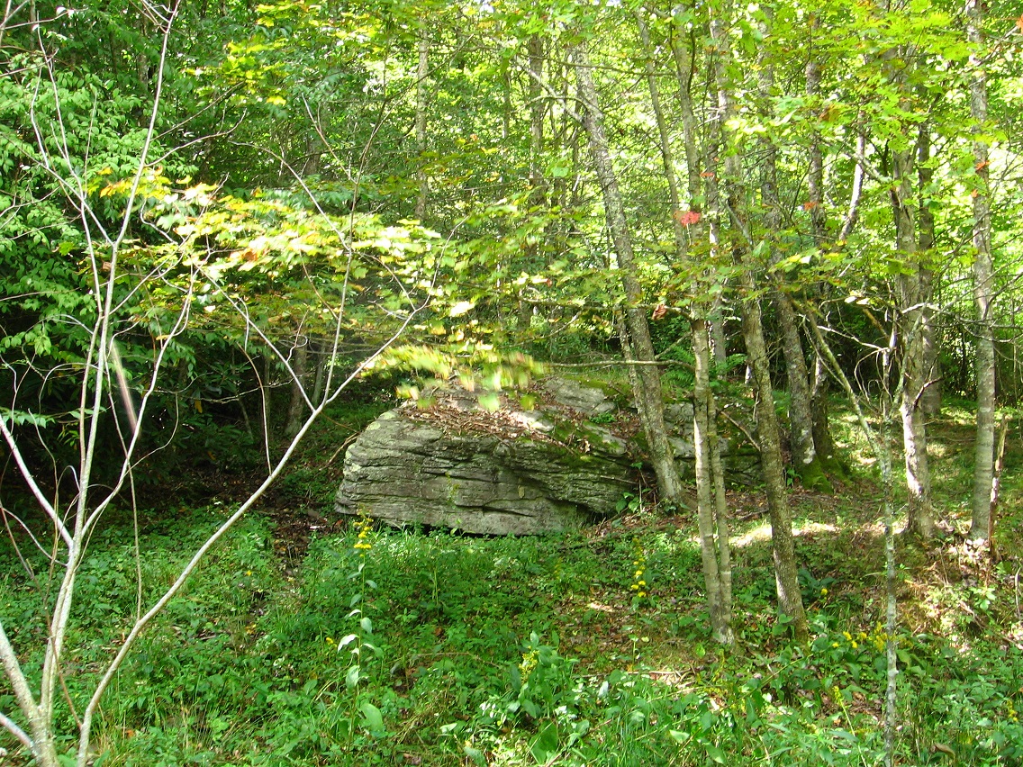
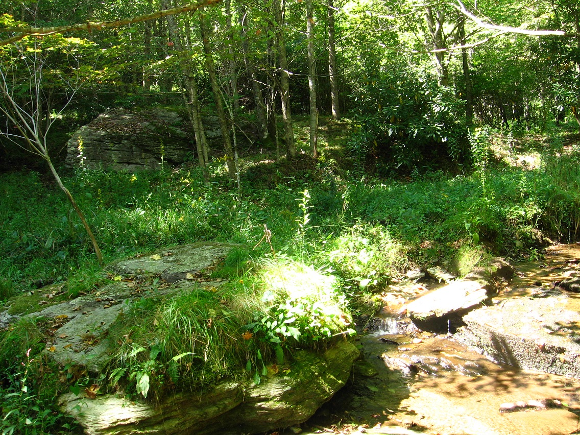
View Rock (foreground) and I. Rock (background) together.


